What is recorded here
The following description is derived from both the published 'Archaeological Inventory of County Louth' (Dublin: Stationery Office, 1986) and the 'Archaeological Survey of County Louth' (Dublin: Stationery Office, 1991). In certain instances the entries have been revised and updated in the light of recent research.
Date of upload/revision: 17 July 2007
Sub-circular area (int. dims. 49.2m E-W, 42m N-S) enclosed by earthen bank (Wth 4.5m, H 0.5m internally, 1.5m externally) with possible entrance gap (Wth 2m) at NE. Interior disturbed by cultivation ridges and tree-planting.
The monument record does not grant public access. Check the route and ask the landowner before entering private land.
- What survives
- Recorded monument
Places near here
 The White Horse FortFairy fort / earthen ringfort · 1016 yd
 Belpatrick FortEnclosure · 1610 yd
 Site of Old CastleCastle, unclassified · 1.1 mi
 Mount OrielMountain / peak · 1.5 mi
 Cloghar WoodForest · 1.7 mi
 Slieve BreaghMountain / peak · 1.9 mi
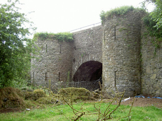 bridgebridge · 2.4 mi
 Church in CollonChurch · 2.4 mi
 Valley WoodWood · 2.8 mi
 Irish Military Museum And ParkMuseum · 3.2 mi
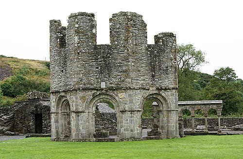 Mellifont AbbeyHeritage attraction · 4.1 mi
 MoatCastle, motte · 4.3 mi