What is recorded here
Fairy fort in Belleek, County Meath: a grass-covered ring about twenty-seven metres across, raised on an earthen bank at the west end of a short ridge. Its entrance has never been identified, so the fort keeps that much to itself. In local story such places belong to fairies; in human memory they may have marked boundary, shelter or ritual. The bank still stands, reduced in places to a scarp with traces of stone facing, holding its shape against fields and forgetting.
Located towards the W end of short E-W ridge. This is a raised circular and grass-covered area (diam. 27.3m NW-SE; 25.5m NE-SW) defined by an earthen bank (at NW: Wth of base 5.5m; int. H 0.5m; ext. H 1.5m) and hedge that is largely reduced to a scarp (at SE: Wth 3m; H 1.5m) with traces of an outer stone facing, and an external berm (at SW: Wth 2m). The original entrance is not identified.
The above description is derived from the published 'Archaeological Inventory of County Meath' (Dublin: Stationery Office, 1987). In certain instances the entries have been revised and updated in the light of recent research.
Compiled by: Michael Moore
Date of revision: 9 January 2019
The monument record does not grant public access. Check the route and ask the landowner before entering private land.
- What survives
- Recorded monument
Places near here
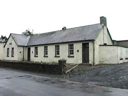 Gortloney National Schoolschool · 1089 yd
 Green CastleCastle, unclassified · 1114 yd
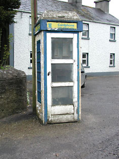 telephone boxtelephone box · 1226 yd
 Slieve GullionMountain / peak · 1246 yd
 Fairy fort / earthen ringfort in LoughcrewFairy fort / earthen ringfort · 1407 yd
 Enclosure in KnockloughEnclosure · 1446 yd
 European YewEuropean Yew · 1.4 mi
 Common LimeCommon Lime · 1.4 mi
 Zip WireHeritage attraction · 1.4 mi
 MoatCastle, motte · 1.4 mi
 Seafin HillMountain / peak · 1.7 mi
 LoughcrewMegalithic tomb cemetery · 2.0 mi