What is recorded here
Beladd holds a vanished ringfort where thirty families may have lived, loved and bickered before the land took back their walls. The name fairy fort suggests people stopped believing the explanation and began inventing one, which is often what memory does when evidence thins. What remains is a subcircular shadow in the field, wide enough for a small life and quiet enough to swallow it.
Marked on the 1841 and 1909 editions of the OS 6-inch maps; a subcircular area (max. dims. c. 70m NE-SW; 50m NW-SE). Only slight traces of the bank survive at NE. No other visible surface remains.
The above description is derived from the published 'Archaeological Inventory of County Laois' (Dublin Stationery Office, 1995) compiled by P. David Sweetman, Olive Alcock and Bernie Moran. In certain instances the entries have been revised and updated in the light of recent research.
Date of upload: 17 December 2007
The monument record does not grant public access. Check the route and ask the landowner before entering private land.
- What survives
- Recorded monument
Places near here
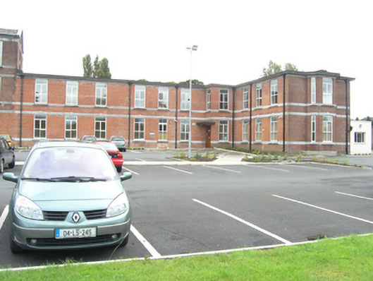 Saint Fintan's Hospitalhospital/infirmary · 281 yd
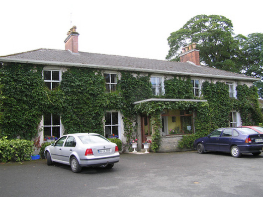 Portrane Houserectory/glebe/vicarage/curate's house · 666 yd
 Enclosure in Ballyroan (maryborough East By.)Enclosure · 896 yd
 Burial Ridge of MaryboroughMemorial · 1012 yd
 Ridge Grave YardGraveyard · 1062 yd
 ConventCastle, tower house · 1202 yd
 Old Barrack, Mill LandCastle, unclassified · 1318 yd
 Portlaoise CourthouseMemorial · 1435 yd
 Rock of DunamaseCastle · 2.9 mi
 Rock of Dunamase InformationVisitor information · 3.0 mi
 Rock of CashelMountain / peak · 3.7 mi
 European YewEuropean Yew · 6.2 mi