
What is recorded here
Enclosure in Ballyroan (maryborough East By.) is a vanished subcircular enclosure, roughly sixty metres across, marked on maps from 1841 to 1909 but absent from the surface today. It lies near a holy well and a proposed housing site where trenches opened in 1998 found nothing at all. The earth kept its secret, denying even the archaeologists a single clue about the hands that shaped it or the lives it held.
Marked on the 1841 and 1909 editions of the OS 6-inch maps; a subcircular enclosure (max. diam. c. 60m NE-SW). No visible surface remains.
Archaeological testing by Martin Byrne in 1998 at Broomville Gardens Nat. Grid Ref. 248047 199176 under licence no 98E0460 was undertaken at a proposed housing development in the townland of Ballyroan, on the eastern outskirts of Portlaoise, in compliance with a condition included in a grant of planning. The work was undertaken on 3 October 1998. The development site lies in the general environs of a holy well (LA013-043) and an enclosure site (LA013-044). Seven trenches, ranging from 38m to 110m long and c. 1.2 m wide, were opened by mechanical excavator. All were confined to the construction areas of the site. No features, structures or finds of archaeological interest were uncovered, and it was therefore recommended that no further archaeological involvement was required (Bennett 2000, 124-5).
The above description is derived from the published 'Archaeological Inventory of County Laois' (Dublin Stationery Office, 1995) compiled by P. David Sweetman, Olive Alcock and Bernie Moran. In certain instances the entries have been revised and updated in the light of recent research.
Date of upload: 17 December 2007
The monument record does not grant public access. Check the route and ask the landowner before entering private land.
- What survives
- Recorded monument
Places near here
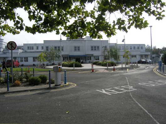 Midland Regional Hospital Portlaoisehospital/infirmary · 450 yd
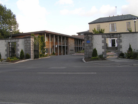 Grattan Housegates/railings/walls · 801 yd
 Mail Coach StablesCastle, unclassified · 1077 yd
 Enclosure in Borris GreatEnclosure · 1133 yd
 Site of ChurchChurch · 1179 yd
 Burial Ridge of MaryboroughMemorial · 1187 yd
 ConventCastle, tower house · 1374 yd
 Portlaoise CourthouseMemorial · 1658 yd
 Rock of DunamaseCastle · 3.0 mi
 Rock of Dunamase InformationVisitor information · 3.1 mi
 Rock of CashelMountain / peak · 4.2 mi
 Giant SequoiaGiant Sequoia · 5.7 mi
Other information
Photo: Credit not shown in the picture search · Rights wording not checked; contact us if this picture should be removed