
What is recorded here
Borris Great once held a church, but by 1838 only a heap of stones marked the site. That scattered pile survived until 1907, when memory still placed the building near Bloomfield House. The stones have vanished entirely, leaving a hidden chamber where a holy well waits forty-five metres away to receive what the church no longer holds.
Marked as site of church on the 1839 and 1907 editions of the OS 6-inch maps. The OS Letters of 1838 stated that in the townland of Borris Great there was ‘a church situated in it, none of which, as I was informed, remains at present. A heap of stones belonging to the building is the only index to point out its site’ (O’Flanagan 1933, 60). In 1907, O’Hanlon recorded, that in the townland of Borris Great ‘not far from Bloomfield House lay the old church, only a heap of stones remaining there to indicate its former site’ (O’Hanlon and O’Leary 1907, 192-3). No visible surface remains. Holy well (LA013-022002-) lies c. 45m to SW.
The above description is derived from the published 'Archaeological Inventory of County Laois' (Dublin Stationery Office, 1995) compiled by P. David Sweetman, Olive Alcock and Bernie Moran. In certain instances the entries have been revised and updated in the light of recent research.
Compiled by: Caimin O'Brien
Date of revised upload: 1 December 2015
The monument record does not grant public access. Check the route and ask the landowner before entering private land.
- What survives
- Recorded monument
Places near here
 Enclosure in Borris GreatEnclosure · 449 yd
 Enclosure in Ballyroan (maryborough East By.)Enclosure · 1179 yd
 RathnamanaghCastle, motte and bailey · 1376 yd
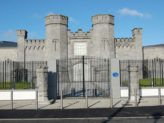 Portlaoise Prisonprison/jail · 1540 yd
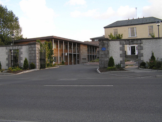 Grattan Housegates/railings/walls · 1574 yd
 Burial Ridge of MaryboroughMemorial · 1732 yd
 Mail Coach StablesCastle, unclassified · 1743 yd
 Portlaoise CourthouseMemorial · 1.2 mi
 Rock of DunamaseCastle · 3.4 mi
 Rock of Dunamase InformationVisitor information · 3.5 mi
 Rock of CashelMountain / peak · 4.8 mi
 Giant SequoiaGiant Sequoia · 5.4 mi
Other information
Photo: Credit not shown in the picture search · Rights wording not checked; contact us if this picture should be removed