What is recorded here
Fairy fort in Bawn, County Longford: an 18 m earthen ring in low pasture, partly hidden beneath a field boundary and remembered in local story as a fairy place. What remains is a shallow scarp and a faint outer trace, yet the shape still reads as a made circle rather than a random bump. People may have lived, herded or excluded others inside that ring before the land was reclaimed and the boundary cut through it.
In reclaimed, low-lying pasture. A raised circular area (diam. c. 18m) which is divided into unequal portions by a NE-SW field boundary. The larger portion, to the SE, is not visible at ground level. The smaller portion, to the NW, is defined by a low scarp (H 0.4m). A report in 1976 (SMR file) indicates that it was enclosed by a shallow external fosse and fragmentary traces of an outer bank. The original entrance is not recognisable.
Compiled by: Patrick F. O'Donovan
Date of upload: 26 August 2011
The monument record does not grant public access. Check the route and ask the landowner before entering private land.
- What survives
- Recorded monument
Places near here
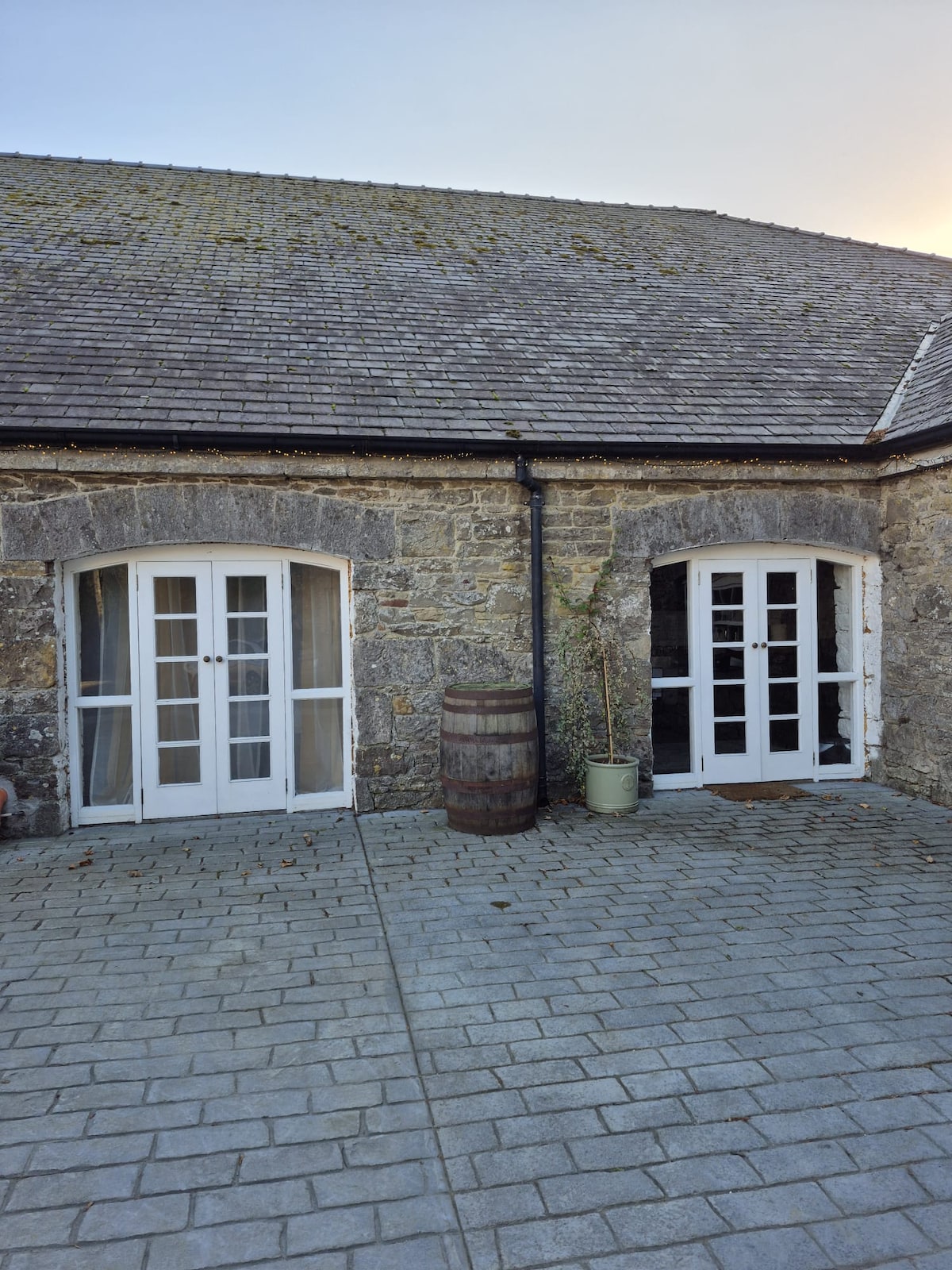 Enclosure in Bawn (moydow By.)Enclosure · 248 yd
 Bawn Castle & NunneryHouse, fortified house · 568 yd
 FortsFairy fort / earthen ringfort · 848 yd
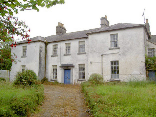 Glebe Houserectory/glebe/vicarage/curate's house · 1370 yd
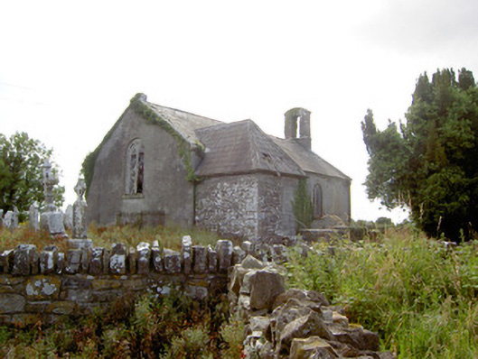 Moydow Churchchurch/chapel · 1423 yd
 Bawn in CastlereaBawn · 1.1 mi
 National Famine WayWalking route · 1.3 mi
 Graveyard in Curry (ardagh By., Coolamber Ed)Graveyard · 2.7 mi
 First World War MemorialMemorial · 3.8 mi
 Saint Mel's CathedralCathedral · 3.9 mi
 Commons North WalkVisitor information · 9.5 mi
 Wild birdsVisitor information · 9.5 mi