What is recorded here
Fairy fort / earthen ringfort in Bawn (moydow By.) stands on the SE slope of a low rise in County Longford, Ireland. It appeared as a circular enclosure named Fort on the 1837 OS map, but ploughing and time have reduced it to a faint twenty-metre mound with a shallow scarp. The external ditch recorded in 1976 has vanished entirely. What remains is less a fortress than a shadow of one, barely visible enough to mark where human hands once shaped the land into a circle.
On the SE slope of a low rise. Depicted as a circular enclosure with the designation 'Fort' on the 1837 ed. of the OS 6-inch map. This monument has been almost completely levelled. Remains comprise a poorly defined, low, circular mound of earth and stone (diam. c. 20m) defined by a broad, flattened scarp (H 0.3-0.4m). A report in 1976 (SMR file) recorded traces of an external fosse, which has since been infilled.
Compiled by: Patrick F. O'Donovan
Date of upload: 26 August 2011
The monument record does not grant public access. Check the route and ask the landowner before entering private land.
- What survives
- Recorded monument
Places near here
 Bawn Castle & NunneryHouse, fortified house · 608 yd
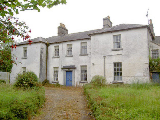 Glebe Houserectory/glebe/vicarage/curate's house · 892 yd
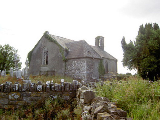 Moydow Churchchurch/chapel · 1098 yd
 Enclosure in Moydow GlebeEnclosure · 1180 yd
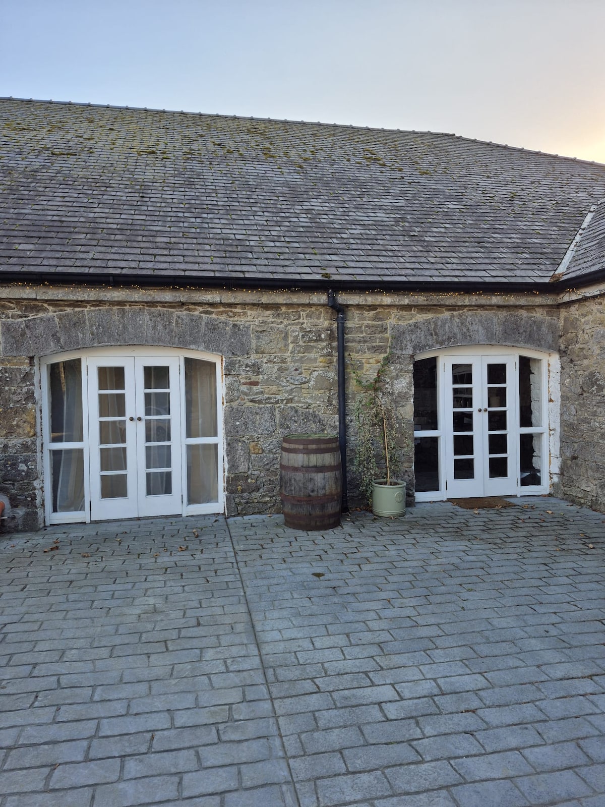 Enclosure in Bawn (moydow By.)Enclosure · 1192 yd
 Bawn in CastlereaBawn · 1.3 mi
 National Famine WayWalking route · 1.5 mi
 Graveyard in Curry (ardagh By., Coolamber Ed)Graveyard · 2.1 mi
 First World War MemorialMemorial · 3.5 mi
 Saint Mel's CathedralCathedral · 3.5 mi
 Commons North WalkVisitor information · 8.8 mi
 Wild birdsVisitor information · 8.9 mi