What is recorded here
Half a kilometre of grass and shadow hides a circular fort on the slope below Thur Mountain. Its earthen bank still stands a metre high around a space wide enough for thirty paces, while a shallow ditch rings the outside and a causeway cuts through the south. People may have lived there, watched the valley or simply marked the mountain's edge before the land forgot their names. The fort remains visible only because somebody built it large enough for grass and time to cover but not erase.
Located on a steep SW-facing slope towards the bottom of Thur Mountain and at the N edge of the Glenfarne valley. This is grass and scrub-covered circular area (int. diam. 28.5m N-S; 27.5m E-W) defined by an overgrown earthen bank (Wth 5m; int. H 0.35m; ext. H 1m), which is reduced to a scarp (H 0.8m) E-SE, and an outer fosse (Wth of base 2.4m; D 0.4m). There is an entrance and causeway (Wth 5m) at S.
The above description is derived from 'The Archaeological Inventory of County Leitrim' compiled by Michael J. Moore (Dublin: Stationery Office, 2003). In certain instances the entries have been revised and updated in the light of recent research.
Date of upload: 23 September 2008
The monument record does not grant public access. Check the route and ask the landowner before entering private land.
- What survives
- Recorded monument
Places near here
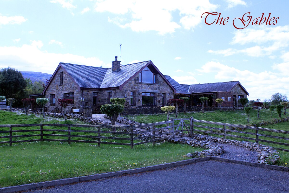 Sweat Ho.Sweathouse · 683 yd
 Sweat HouseSweathouse · 901 yd
 Saint Michael's Catholic Churchgates/railings/walls · 1670 yd
 Grave YardChurch · 1.8 mi
 Ballaghnabehy TopMountain / peak · 2.4 mi
 BronaghMountain / peak · 2.5 mi
 Lough MacNean WalkWalking route · 3.3 mi
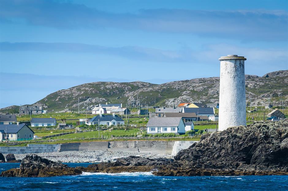 Bilberry IslandIslet · 3.5 mi
 Saint Patrick's IslandIslet · 3.5 mi
 Port IslandCastle, Anglo-Norman masonry castle · 4.0 mi
 Giant's GraveArchaeological place · 4.3 mi
 The Giants GraveArchaeological place · 4.6 mi