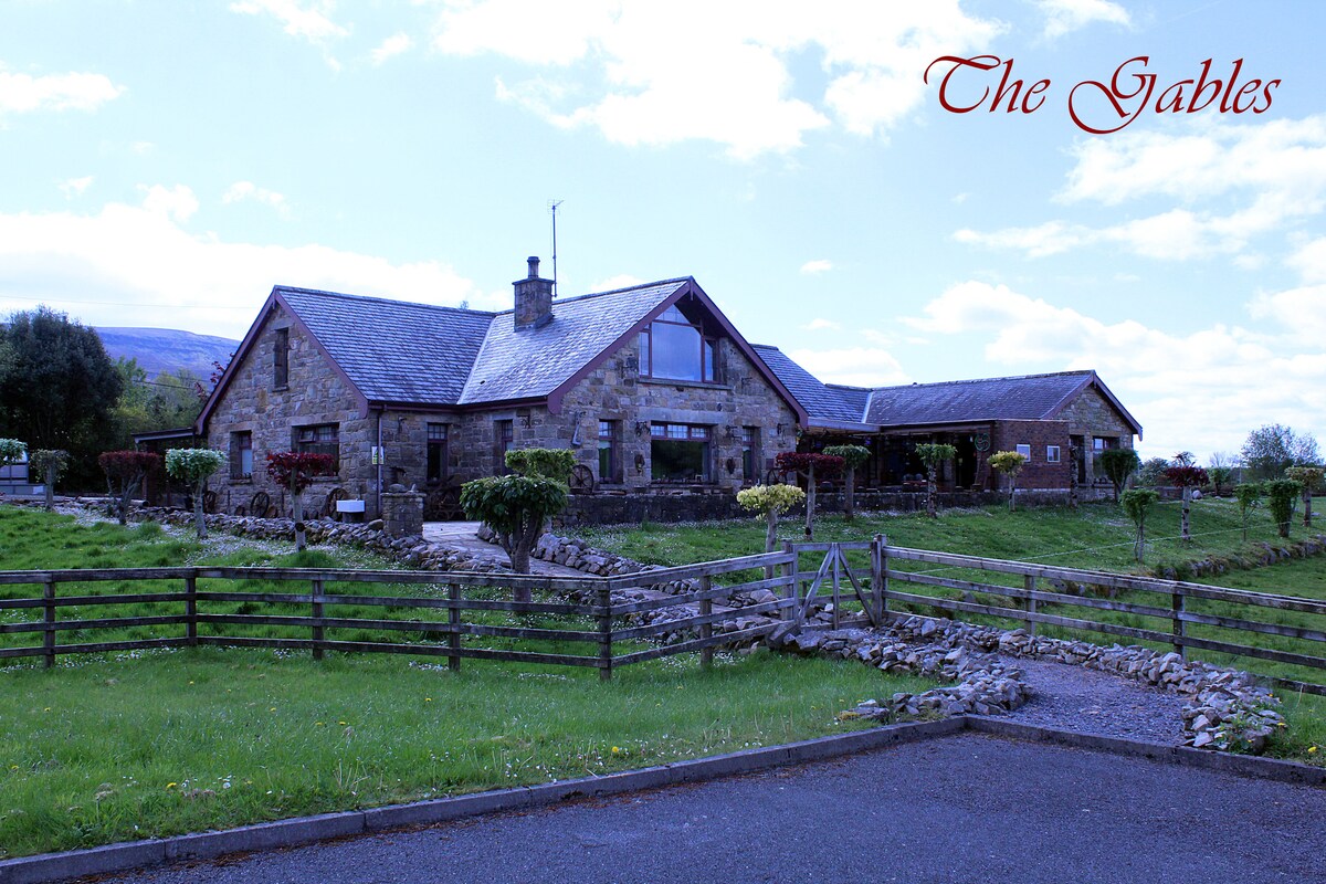
What is recorded here
Indicated as a sweat house only on the 1835 ed. of the OS 6-inch map with a small N-S stream c. 10m to the E and houses c. 140m and c. 200m to the N and NNE respectively. It is located towards the bottom of a steep S-facing slope of Thur Mountain and on the N side of Glenfarne valley. No feature is visible at ground level in rough pasture.
The above description is derived from 'The Archaeological Inventory of County Leitrim' compiled by Michael J. Moore (Dublin: Stationery Office, 2003). In certain instances the entries have been revised and updated in the light of recent research.
Date of upload: 23 September 2008
The monument record does not grant public access. Check the route and ask the landowner before entering private land.
- What survives
- Recorded monument
Places near here
 Sweat HouseSweathouse · 660 yd
 Saint Michael's Catholic Churchgates/railings/walls · 1.3 mi
 IndicatedSweathouse · 1.9 mi
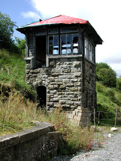 Glenfarne Railway Stationsignal box · 2.1 mi
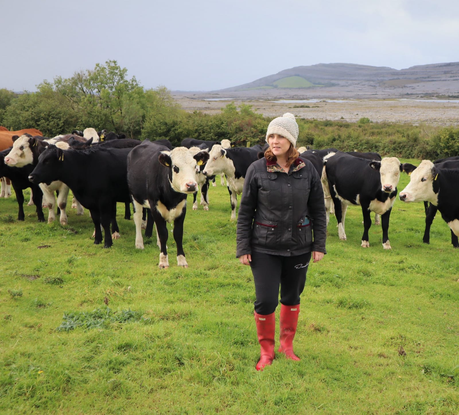 BronaghMountain / peak · 2.4 mi
 Ballaghnabehy TopMountain / peak · 2.7 mi
 Lough MacNean WalkWalking route · 2.9 mi
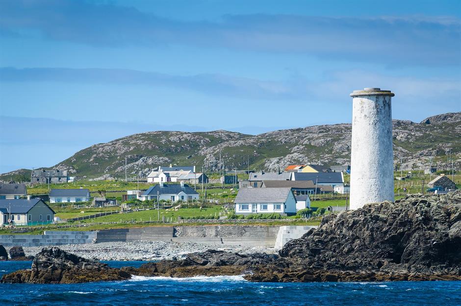 Bilberry IslandIslet · 3.1 mi
 Saint Patrick's IslandIslet · 3.1 mi
 Port IslandCastle, Anglo-Norman masonry castle · 3.6 mi
 Giant's GraveArchaeological place · 3.9 mi
 The Giants GraveArchaeological place · 5.0 mi
Other information
Photo: Credit not shown in the picture search · Rights wording not checked; contact us if this picture should be removed