
What is recorded here
Situated in an undulating landscape on the floor of Glenfarne valley, with a curving NE-SW section of the Cornavannoge River c. 50-70m to the SE. This is the site of the church listed as Kill McCoyril in the Register of Clonmacnoise (O'Donovan 1857, 451; Pinkman 1942, 35), and a church of Cill Mic Coirill, or Kill Mic Oilill, is listed as a church in north Leitrim in a late 17th century document (Mooney 1946a, 65). This was probably a chapel-of ease to the parish church (LE011-019001-) of Cloonclare, but it may be on an older site. Traditionally, the name is thought to be derived from “Cill Mac Faurcheallaig (Farrell’s church)”, after a woman pilgrim who was assaulted nearby (Faughnan 1943).
There is no evidence that there was ever a church within the subrectangular graveyard (dims c. 50m N-S; c. 40m E-W) depicted on the 1835 and 1910 eds of the OS 6-inch map where it is described as a Burial Ground on both. The graveyard has been extended to the S (dims c. 90m NNE-SSW; 37m WNW-ESE) defined by modern masonry walls, but the older N part is overlying a grass-covered oval enclosure (dims c. 100m WNW-ESE; c. 60m NNE-SSW) defined by a widely spread earthen bank or scarp, which could be an ecclesiastical enclosure.
The above description is derived from 'The Archaeological Inventory of County Leitrim' compiled by Michael J. Moore (Dublin: Stationery Office, 2003). In certain instances the entries have been revised and updated in the light of recent research.
Date of revised upload: 4 April 2016
The monument record does not grant public access. Check the route and ask the landowner before entering private land.
- What survives
- Recorded monument
Places near here
 Ecclesiastical enclosure in KilmakerrillEcclesiastical enclosure · 18 yd
 Saint Michael's Catholic Churchgates/railings/walls · 1543 yd
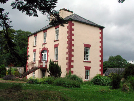 Fortland Housecountry house · 1754 yd
 LisnagroaghFairy fort / earthen ringfort · 1.2 mi
 Dough MountainMountain / peak · 2.2 mi
 Ballaghnabehy TopMountain / peak · 2.2 mi
 The Giants GraveArchaeological place · 3.0 mi
 Giants RockNamed rock · 4.1 mi
 Kilroosk RockNamed rock · 4.5 mi
 Lough MacNean WalkWalking route · 5.0 mi
 Crannoge IslandIslet · 5.1 mi
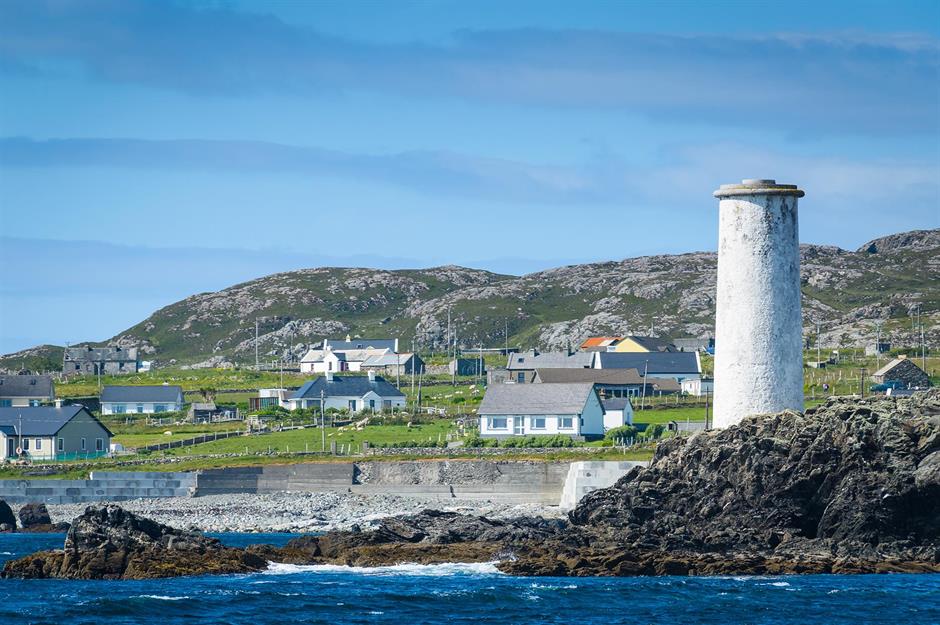 Bilberry IslandIslet · 5.1 mi
Other information
Photo: Credit not shown in the picture search · Rights wording not checked; contact us if this picture should be removed