What is recorded here
Situated on a marked NE-facing slope. Northern half of approximately circular ringfort (dims. 38m WNW-ESE; 40m NE-SW) defined by an earthen bank (Wth c. 5m; int. H 0.7m; ext. H 0.8-1.3m) and bisected by a field boundary extending E-W across the site. There is a possible entrance feature (Wth 3m) at the NNW. Poorly defined trace of bank (L 8m) to the S of field boundary at the W. No indiction of an external fosse or internal features.
The above description is derived from the published 'Archaeological Inventory of County Wicklow' (Dublin: Stationery Office, 1997). In certain instances the entries have been revised and updated in the light of recent research.
Date of upload/revision: 17 December 2008
The monument record does not grant public access. Check the route and ask the landowner before entering private land.
- What survives
- Recorded monument
Places near here
 BallinastrawMountain / peak · 946 yd
 Workers GreenMemorial · 1.2 mi
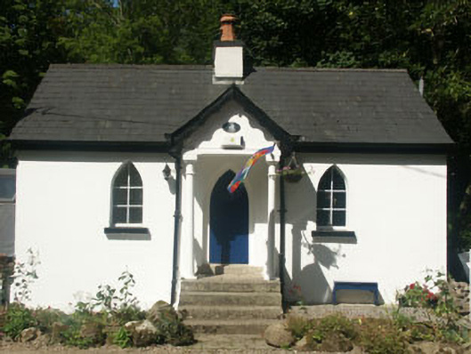 Cronybyrne Housegate lodge · 1.3 mi
 Ladys WellHoly well · 1.3 mi
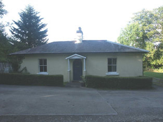 Ballyfree Housegate lodge · 1.4 mi
 Castle in ruinsCastle, tower house · 1.4 mi
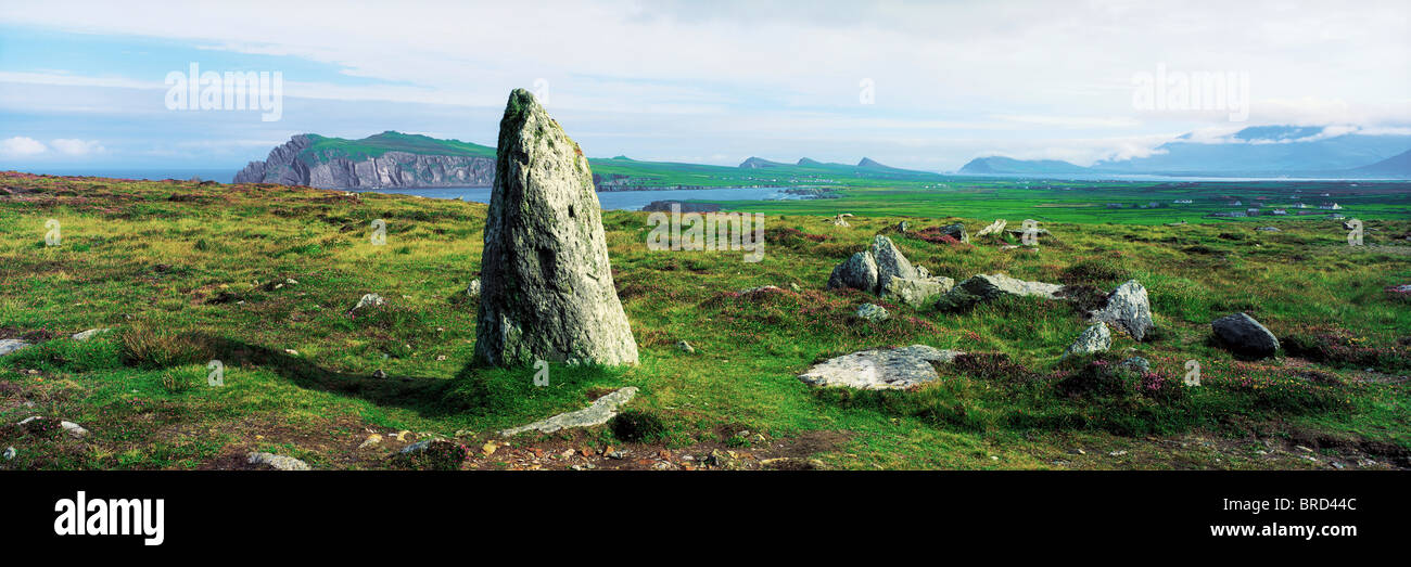 Vale of Clara Nature ReserveNature reserve · 1.6 mi
 Sessile OakSessile Oak · 1.6 mi
 Carrick MountainMountain / peak · 1.8 mi
 Enclosure in Aghowle Upper (newcastle By.)Enclosure · 1.8 mi
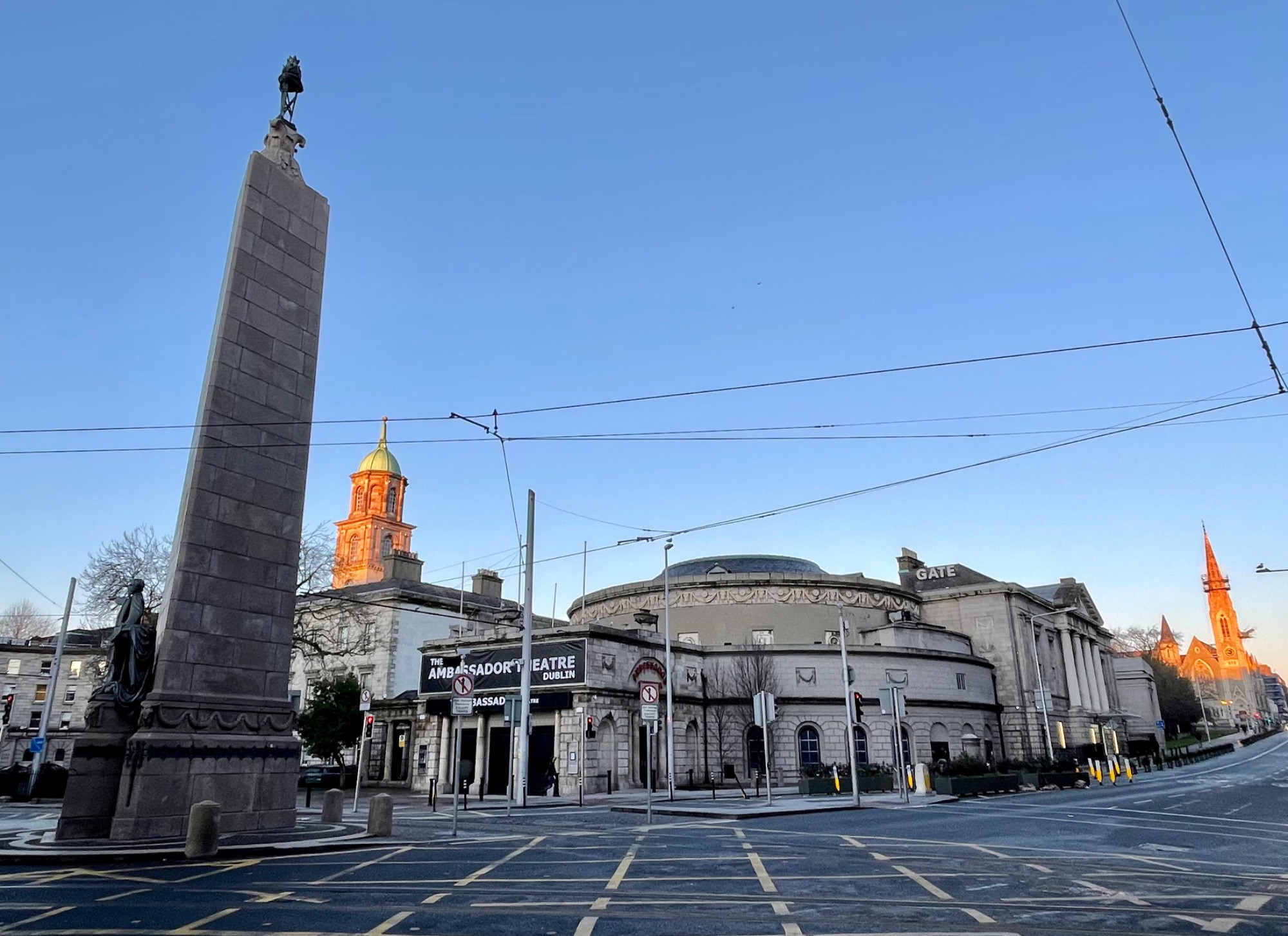 Parnell MonumentMemorial · 2.9 mi
 Knockrath Castle (in ruins)Castle, tower house · 3.6 mi