What is recorded here
Quarrying bit through the north and east banks, proving the fort is not a static monument but a living boundary between human memory and earth's hunger. The surviving west and east edges still trace a subcircular chamber large enough for rooftops, herds or argument. What is missing has not vanished; it has been taken into the road, the wall or the field.
Some 15m S of ringfort (GA044-022----). Subcircular rath (E-W 37.5m, N-S 34.8m), in fair condition, defined by two banks and an intervening fosse. The inner bank is best preserved at W, and the outer bank at ENE. No visible surface trace of the monument survives at NNW and E due to quarrying. A gap at SE may be original.
The above description is derived from the published 'Archaeological Inventory of County Galway Vol. II - North Galway'. Compiled by Olive Alcock, Kathy de hÓra and Paul Gosling (Dublin: Stationery Office, 1999).
Date of upload: 05 August 2010
The monument record does not grant public access. Check the route and ask the landowner before entering private land.
- What survives
- Recorded monument
Places near here
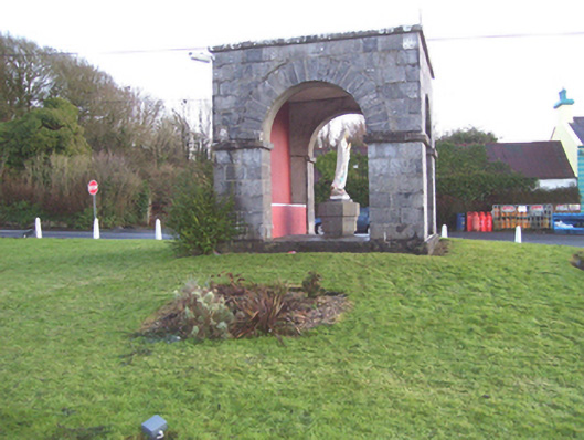 monumentmonument · 428 yd
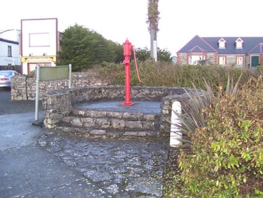 water pumpwater pump · 440 yd
 Barnaderg CastleCastle · 742 yd
 Field system in Barnaderg NorthField system · 1014 yd
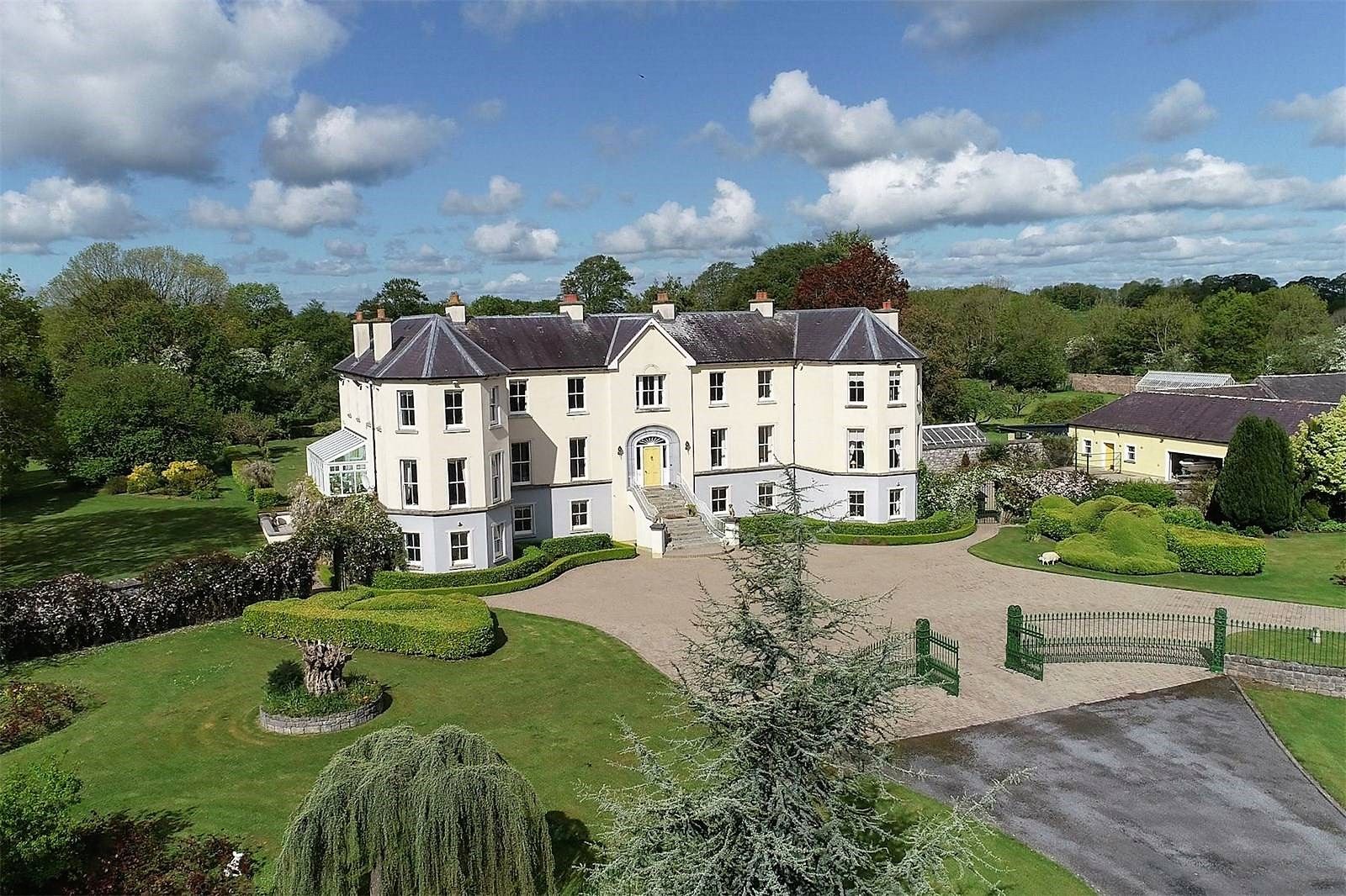 Lisherriddy FortFairy fort / earthen ringfort · 1.7 mi
 Knockmoy AbbeyHeritage attraction · 2.7 mi
 CastleCastle, unclassified · 4.3 mi
 Menlough IRAMemorial · 7.4 mi
 European ashEuropean ash · 8.1 mi
 Mass RockNamed rock · 9.2 mi
 KnockmaaWood · 9.8 mi
 Killererin Church (in Ruins)Church · 685 yd