What is recorded here
Fairy forts are not places to disturb. They belong to the hidden world. People who dig or build there suffer misfortune. The fairies mark proud flesh and take revenge through small cruelties.
Situated on a ridge in an undulating landscape. This is an oval grass-covered area (dims 47.5m N-S; 38m E-W) defined by an overgrown earthen bank (Wth of base 6.5-7m; int. H 0.5-0.8m; int. H 2.5-2.8m) separated by a fosse (Wth of top 7.5-8m; Wth of base 1.7-2m; ext. D 0.7m at ENE to 1.15m at WSW) from an outer overgrown bank (at WNW: Wth of base 4.3m; ext. H 0.7m), both of which only survive E-W-N. There are entrances through the inner bank at NNE (Wth of base 3m) and SSW (Wth 3m), both probably modern. Enclosure (ME0014-016----) is c. 70m to the SE.
The above description is derived from the published 'Archaeological Inventory of County Meath' (Dublin: Stationery Office, 1987). In certain instances the entries have been revised and updated in the light of recent research.
Compiled by: Michael Moore
Date of revision: 21 November 2018
The monument record does not grant public access. Check the route and ask the landowner before entering private land.
- What survives
- Recorded monument
Places near here
 IndicatedEnclosure · 137 yd
 Enclosure in Annagh (fore By.)Enclosure · 1486 yd
 European BeechEuropean Beech · 1.1 mi
 CastleCastle, unclassified · 1.5 mi
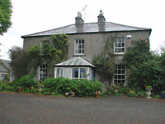 Killeagh Houserectory/glebe/vicarage/curate's house · 1.6 mi
 Hilltown Castle (in ruins)Castle, tower house · 1.6 mi
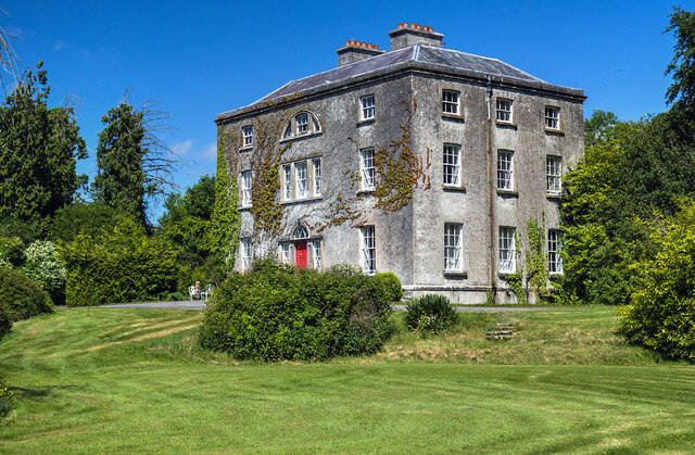 Hilltown Housecountry house · 1.6 mi
 Seafin HillMountain / peak · 2.7 mi
 Mullaghmeen ForestPicnic place · 2.8 mi
 Zip WireHeritage attraction · 2.8 mi
 European YewEuropean Yew · 2.9 mi
 Mount FortuneMountain / peak · 2.9 mi