What is recorded here
Mud and muscle built a shallow circle on a Meath hillock, perhaps a home, perhaps a marker for the dead. A causeway still bridges the gap at the northeast, inviting entry into a space where a smaller inner ring suggests a hut or hearth at the centre. The quarry has taken the eastern edge, and grass has swallowed the rest, but the shape remains: a room without walls, waiting to be remembered.
Situated on a prominent hillock in an undulating low-lying landscape. This is an overgrown circular area (diam. 32m WNW-ESE, 29m NNE-SSW) defined by an earthen bank (at WNW: Wth of base 3.5m; int. H 0.2m; ext. H 1m) and an outer fosse (at WNW: Wth of top 4m; ext. D 0.2m) SSE-W-ENE, but the bank is reduced to a scarp (at ESE: H 1.3m) and the fosse is absent ENE-SSE where the rath is highest internally. There is an entrance (Wth of base 2m) and causeway (Wth of top 2.4m; H 0.45m) at NE. At the centre is a hut-site (diam. 5.1-5.3m) defined by a slight earthen bank (Wth 0.7-1m; H 0.2m) but there is no evidence of an entrance. It has become overgrown since 1969 (OSAP) and the edge of a quarry comes right to the edge of the monument E-S-W.
The above description is derived from the published 'Archaeological Inventory of County Meath' (Dublin: Stationery Office, 1987). In certain instances the entries have been revised and updated in the light of recent research.
Compiled by: Michael Moore
Date of revision: 21 November 2018
The monument record does not grant public access. Check the route and ask the landowner before entering private land.
- What survives
- Recorded monument
Places near here
 IndicatedEnclosure · 746 yd
 European BeechEuropean Beech · 1022 yd
 Enclosure in Annagh (fore By.)Enclosure · 1293 yd
 Moat CastleCastle, unclassified · 1.3 mi
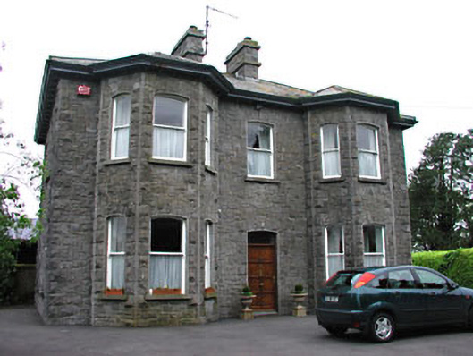 Saint Mary'spresbytery/parochial/curate's house · 1.5 mi
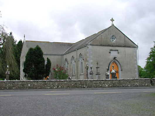 Saint Mary's Catholic Churchchurch/chapel · 1.6 mi
 Hilltown Castle (in ruins)Castle, tower house · 1.8 mi
 Seafin HillMountain / peak · 2.2 mi
 Zip WireHeritage attraction · 2.6 mi
 European YewEuropean Yew · 2.7 mi
 Mount FortuneMountain / peak · 3.1 mi
 Mullaghmeen ForestPicnic place · 3.2 mi