What is recorded here
Quarrying bit the south-east edge, but the ring still holds its shape on the Baltrasna ridge. Inside the broken bank, two raised rectangular mounds and a small circular hut site wait for identification. They suggest a lived place rather than an empty marker, perhaps a family home or a seasonal camp. The fairy fort name may be local colour, yet the stones and soil record a real human presence.
Located on a low ridge in a gently undulating landscape. This is a subcircular area (dims 59.5m WNW-ESE; 57.5m N-S) defined by an earth and stone bank (Wth of base 4.5-6m; int. H 0.3-0.4m; ext. H 1.2-1.6m) separated by a fosse (Wth of top 5.5-6.5m; Wth of base 1-2m; ext. D 0.4-0.5m) from an outer bank (Wth of base 3-4m; ext. H 0.2-0.5m), both of which survive NW-NE and E-S. The defences have been quarried SE-S and an original entrance is not identified. Just N of the centre is a possible house site visible as a raised rectangular mound (dims of top 5.8m E-W; 4m N-S; H 0.3-0.6m). A second possible house site is visible as a raised rectangular mound (dims of top 6.6m x 4.4m H 0.6m) on the site of the bank at NNE. Inside the bank at ENE is a circular structure that might be a hut-site (diam. 4.2m) defined by a slight wall (Wth 0.7m; H 0.4m) with an opening (Wth 2.2m) at NNW. Just outside the rath at SW is enclosure (ME014-010003-).
The above description is derived from the published 'Archaeological Inventory of County Meath' (Dublin: Stationery Office, 1987). In certain instances the entries have been revised and updated in the light of recent research.
Compiled by: Michael Moore
Date of revision: 21 November 2018
The monument record does not grant public access. Check the route and ask the landowner before entering private land.
- What survives
- Recorded monument
Places near here
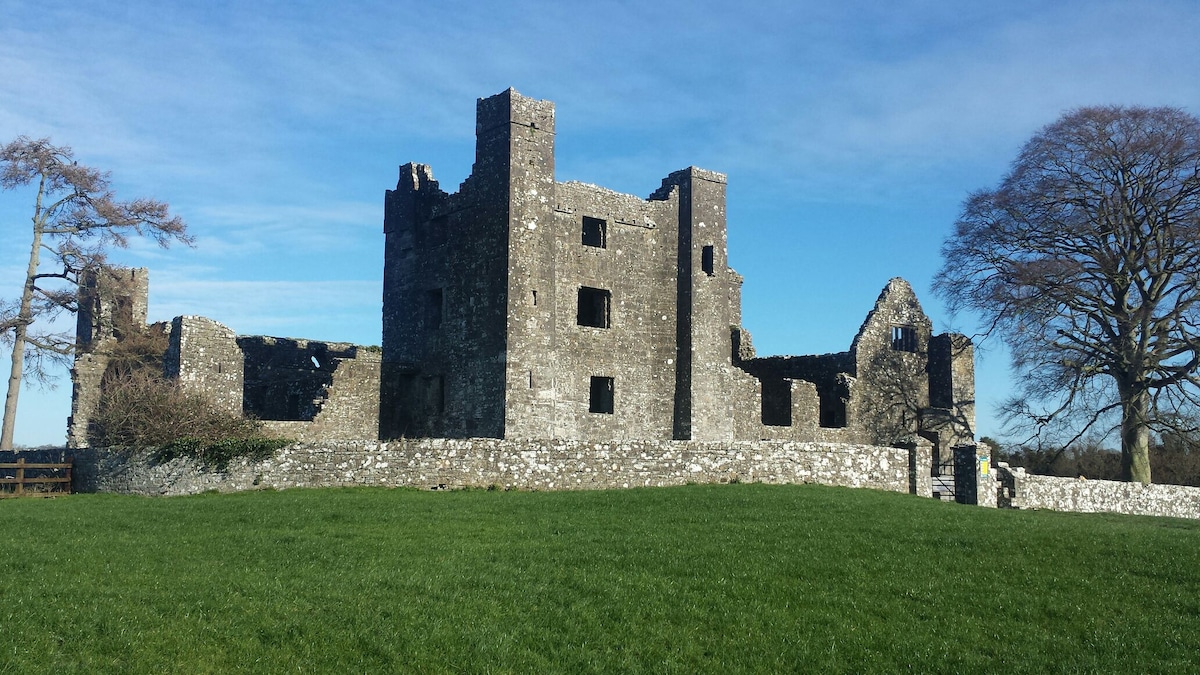 Enclosure in Baltrasna (fore By.)Enclosure · 72 yd
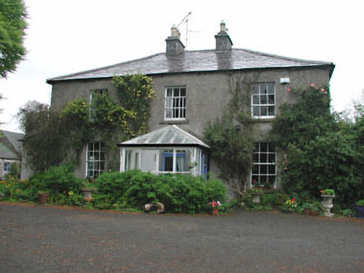 Killeagh Houserectory/glebe/vicarage/curate's house · 1279 yd
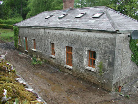 worker's houseworker's house · 1472 yd
 IndicatedEnclosure · 1749 yd
 European BeechEuropean Beech · 1.2 mi
 The MoatCastle, motte and bailey · 1.3 mi
 CastleCastle, unclassified · 1.6 mi
 Mount FortuneMountain / peak · 2.0 mi
 Memorial CrossMemorial · 2.2 mi
 Zip WireHeritage attraction · 2.5 mi
 European YewEuropean Yew · 2.6 mi
 Mullaghmeen ForestPicnic place · 2.8 mi