What is recorded here
Situated on NNE facing slope, surrounded by hilly grassland with Lough Owel visible 800m to E. Ring-barrow (WM011-104----) 350m to SSE. The stream/drain which marks the townland boundary with Mountmurray lies 28m to N. A raised oval-shaped area (approx. diam. 25m N-S; 28.5m E-W) enclosed by a poorly preserved earthen bank and slight external fosse. The fosse is visible from NNW-N-E-SE. A large gap at SE appears to be the result of disturbance. The interior is uneven and contains small dumps of soil and stones and some shallow areas of disturbance.
Compiled by: Frank Coyne and Caimin O'Brien
Date of upload: 25 August 2017
The monument record does not grant public access. Check the route and ask the landowner before entering private land.
- What survives
- Recorded monument
Places near here
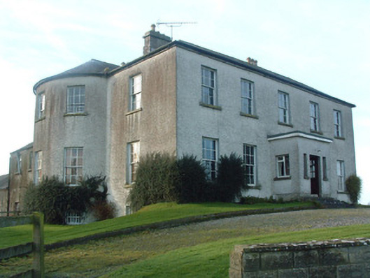 Mount Murray Housecountry house · 839 yd
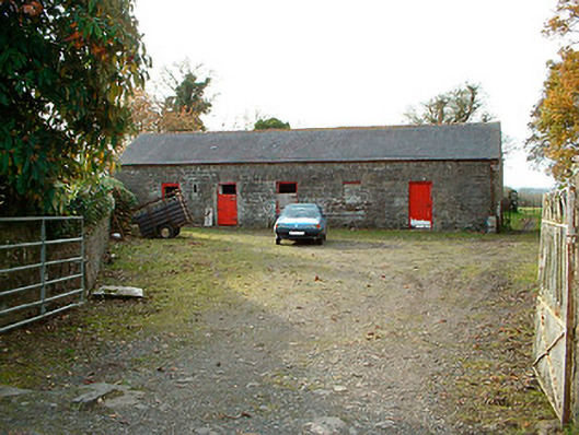 outbuildingoutbuilding · 1150 yd
 IndicatedBawn · 1319 yd
 Kilpatrick WellHoly well · 1.1 mi
 Partially hachuredFairy fort / earthen ringfort · 1.1 mi
 Castle Quarter, Castle (in ruins)Castle, unclassified · 1.5 mi
 Carrickphilbin IslandIslet · 1.7 mi
 Srudarra IslandIslet · 2.3 mi
 Bridge Memorial (Kenna)Memorial · 3.2 mi
 Baronstown ForestWood · 3.6 mi
 Horse-chestnutHorse-chestnut · 3.8 mi
 Abbeyshrule AbbeyRuins · 9.5 mi