What is recorded here
Fairy fort in Balnagall, County Longford: a 35 m earthen ring on a low drumlin, its bank partly levelled and its entrance lost, yet still shaping the field into two unequal parts. People may have lived there before ploughs and boundaries cut through it, children may have run the ridge at dusk, and the fairies may have kept what the soil refused to give up.
On top of a low drumlin. A raised circular area (diam. c. 35m) defined by traces of a levelled bank of earth and stone at NE and SW and otherwise defined by a scarp (H 0.3 - 1.4m), the height and steepness of which varies according to the natural slope of the drumlin. There is no trace of a fosse and the original entrance is not recognisable. The monument is divided into unequal portions by a modern NE-SW field boundary. The smaller portion, to the SE, has been levelled and is not visible at ground level.
Compiled by: Patrick F. O'Donovan
Date of upload: 26 November 2011
This remains an important historical record, but the official description says the monument is no longer visible or has been destroyed. The monument record does not grant public access. Check the route and ask the landowner before entering private land.
- What survives
- No visible remains or recorded as destroyed
Places near here
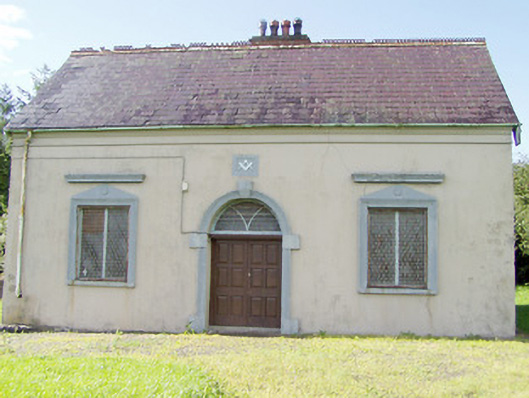 Granard Masonic Hallmasonic lodge/hall · 646 yd
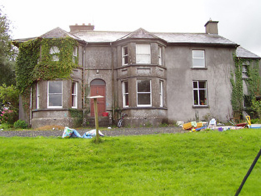 Fernmounthouse · 757 yd
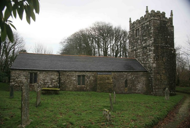 Grave YardGraveyard · 991 yd
 Granard MotteMotte-and-bailey castle remains · 1092 yd
 CastleCastle, unclassified · 1099 yd
 1798 Monumentmonument · 1115 yd
 Moat of GranardCastle, motte and bailey · 1124 yd
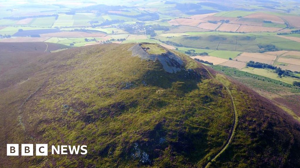 Hillfort in Granard,moatfield,teemoreHillfort · 1136 yd
 CartronfreeMountain / peak · 3.1 mi
 Clonfin Ambush MemorialMemorial · 3.3 mi
 Derrycassan WoodsWood · 3.3 mi
 Cloonfin WoodForest · 3.4 mi