What is recorded here
Situated on a fairly level landscape. The cropmark of a circular enclosure (int. diam. c. 44m N-S; c. 42m E-W) defined by single fosse feature (max. Wth c. 3m) is visible on Google Earth (14/07/2018). There is an entrance gap (Wth c. 4m) at NE. The enclosure is also faintly visible on OSI images (2005), and it was first reported by Faith Bailey.
Compiled by: Michael Moore
Date of upload: 20 November 2019
A fairy fort / earthen ringfort in Ballyvoodock is a circular early-medieval defensive or domestic site, likely dating to between the 5th and 10th centuries AD. Local folklore often associates such sites with the faé or supernatural beings, and they were traditionally avoided or revered by rural communities.
The monument record does not grant public access. Check the route and ask the landowner before entering private land.
- What survives
- Recorded monument
Places near here
 St. Thomass WellHoly well · 704 yd
 IndicatedFairy fort / ringfort · 922 yd
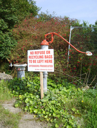 water pumpwater pump · 1355 yd
 Ballingowan MoteCastle, motte · 1497 yd
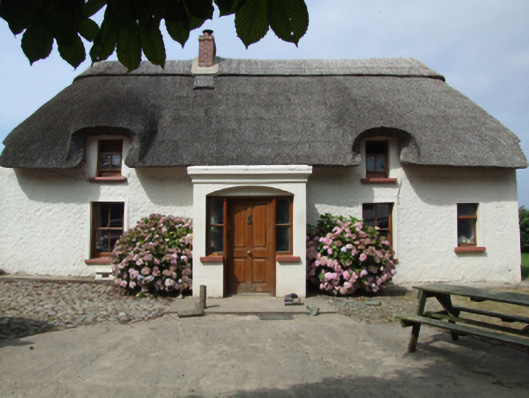 farm housefarm house · 1747 yd
 1798 Insurrection MemorialMemorial · 1.7 mi
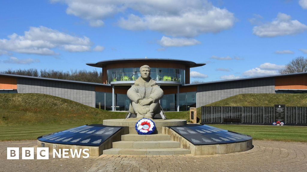 Memorial to The PomonaMemorial · 1.9 mi
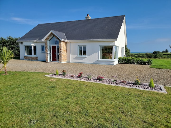 Tinnaberna BeachBeach / strand · 2.5 mi
 Blackwater Coastal Erosion Monitoring PointViewpoint · 2.7 mi
 71Mountain / peak · 2.8 mi
 Hachured moundCastle, motte · 2.9 mi
 Birds of PreyVisitor information · 3.8 mi