What is recorded here
Denis Power documented the Ballyvaddock ringfort in 2011, revealing a thirty-two-metre earthen circle perched atop a low hill. Mature trees now strangle the eastern bank with spreading roots, while cattle graze the gently sloping interior. The structure retains its highest walls on the western and northern edges, suggesting ancient builders valued visibility as much as defence. What appears as a ordinary pasture feature may instead be a forgotten boundary marker, its purpose buried beneath centuries of grass and hoofprints.
In pasture, atop low hill. Roughly circular area (32m N-S; 31.6m E-W) enclosed by earthen bank (int. H 0.7m; ext. H 1.6m), best preserved SSW->W and NNW->NE. Mature deciduous trees grow along bank with considerable root disturbance of bank NE->S. Farm passage skirts around enclosure E->S. Interior, under pasture, slopes down gently to NE.
Compiled by: Denis Power
Date of upload: 26 August 2011
The monument record does not grant public access. Check the route and ask the landowner before entering private land.
- What survives
- Recorded monument
Places near here
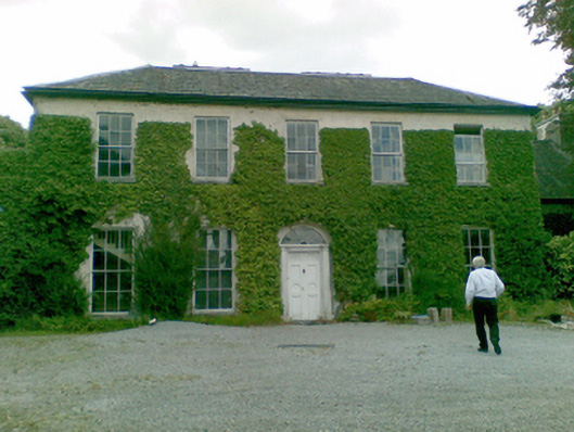 Ballysteen Housecountry house · 1531 yd
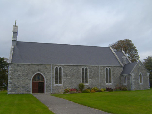 Saint Patrick's Catholic Churchchurch/chapel · 1687 yd
 Court BrownArchaeological place · 1.1 mi
 Ballynash CastleCastle, unclassified · 1.4 mi
 Sunday WellsHoly well · 1.4 mi
 Courtbrown PointHeadland · 1.8 mi
 Greenish IslandIslet · 1.9 mi
 Beagh Castle (in ruins)Castle, tower house · 1.9 mi
 Holly IslandIslet · 2.4 mi
 Askeaton CastleHeritage attraction · 2.4 mi
 Horse RockNamed rock · 3.0 mi
 European YewEuropean Yew · 4.1 mi