What is recorded here
Fairy fort in Ballyspillane West is a ruined earthen ring about forty metres across, cut into a southwest-facing slope above pasture. Its western edge still follows the roadway, its northern and eastern limits trace the old townland fence, and faint undulations mark the remaining arc. People may have lived there, herded stock past it, or avoided it after dark. The earth keeps its shape while memory thins, which is why such places still feel occupied.
In pasture, on SW-facing slope. Roughly circular area (diam. c. 40m) depicted on 1842, 1901 and 1936 OS 6-inch maps; defined on W side by roadway, to N and E by field fence marking townland boundary and by arc of hachures E-SW. Field boundary and roadway remain; E-SW section marked by undulations, clearly visible in aerial photograph (CASAP).
The above description is derived from the published 'Archaeological Inventory of County Cork. Volume 2: East and South Cork' (Dublin: Stationery Office, 1994). In certain instances the entries have been revised and updated in the light of recent research.
Date of upload/revision: 14 January 2009
A fairy fort / earthen ringfort in Ballyspillane West is a roughly circular early-medieval settlement, likely dating to between the 6th and 10th centuries, with a diameter of about 40 metres. It has been associated with local folklore surrounding fairies, as suggested by its traditional name, and its location on a prominent slope may have added to its perceived spiritual significance.
The monument record does not grant public access. Check the route and ask the landowner before entering private land.
- What survives
- Recorded monument
Places near here
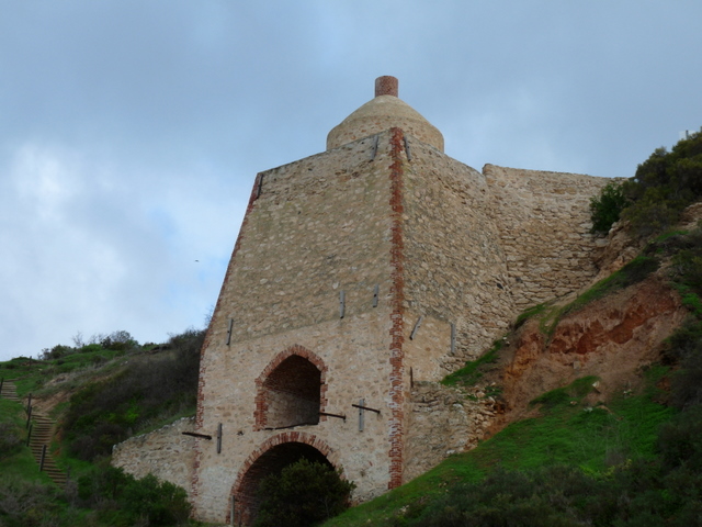 KilnKiln, lime · 997 yd
 Enclosure in ElfordstownEnclosure · 1075 yd
 Grave YardGraveyard · 1115 yd
 Thrashing MachineMill, threshing · 1609 yd
 Graveyard in Broomfield WestGraveyard · 1.7 mi
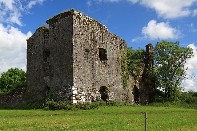 Cahermone Castle (in Ruins)Castle, tower house · 2.1 mi
 Cahermone CastleCastle · 2.1 mi
 Midleton IRA MonumentMemorial · 2.6 mi
 Curragh WoodsWood · 2.9 mi
 Clonmult Ambush SiteBattlefield · 3.1 mi
 Noel Collins BridgeVisitor information · 3.3 mi
 Ballyannan (Bluebell) WoodsForest · 3.7 mi