What is recorded here
Fairy fort / earthen ringfort in Ballyslatteen is a fairy fort or earthen ringfort in Ballyslatteen, County Tipperary, Ireland. It occupies level pasture on the east flood plain of the River Suir. A circular area about 25 metres across is defined by an 8 metre wide earthen bank and an external ditch 6.15 metres wide. Both features are slightly straightened on the south side, possibly because a field boundary lies about 4 metres to the south.
In level pasture on E flood plain of River Suir. Circular area (diam. c. 25m) defined by earthen bank (Wth 8m; int. H 0.3m; ext. H 0.75m) and external fosse (Wth 6.15m; Dth 0.2m), both slightly straightened on S-side, possibly due to field boundary c. 4m to S. Linear feature extends from fosse at SE and SW toward field boundary. Causewayed entrance (Wth 6m) at ENE. Interior generally level. Enclosure (TS068-146----) adjoining to N, enclosure (TS068-071----) c. 60m to SE and ring-barrow (TS068-144----) c. 150m to SE. Stream located along E boundary of field.
Compiled by: Jean Farrelly
Date of upload: 26 August 2011
The monument record does not grant public access. Check the route and ask the landowner before entering private land.
- What survives
- Recorded monument
Places near here
 Enclosure in BallyslatteenEnclosure · 122 yd
 New Bridgebridge · 285 yd
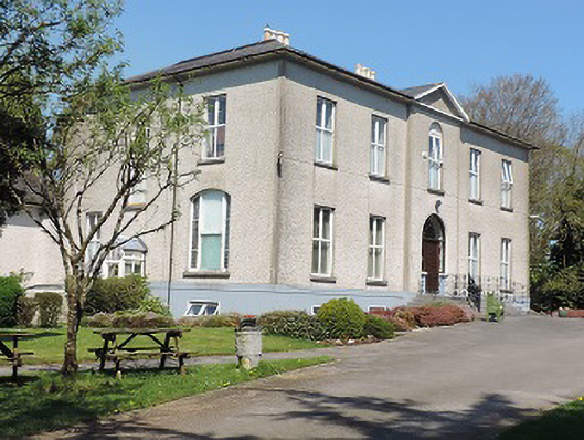 Cuan Mhuirecountry house · 482 yd
 Suir CastleCastle · 1228 yd
 RathgallenFairy fort / earthen ringfort · 1465 yd
 CastleCastle, unclassified · 1.0 mi
 Athassel PrioryHeritage attraction · 1.5 mi
 Caucasian zelkovaCaucasian zelkova · 3.3 mi
 Pedunculate OakPedunculate Oak · 3.8 mi
 Slieveanard NE TopMountain / peak · 4.7 mi
 SturrakeenMountain / peak · 5.4 mi
 The RockViewpoint · 7.0 mi