What is recorded here
Ballyreaghan held a forty-metre circular fort on a northwest-facing slope, visible enough in 1837 for surveyors to draw its line and label it Fort. Ploughs and time has since smoothed the bank and fosse into ordinary ground, yet the shape resists forgetting. People may have lived there, feared there, or simply passed it without knowing they walked across a lost room of the world.
On a NW-facing slope. Depicted as a circular enclosure with the designation 'Fort' on the 1837 ed. of the OS 6-inch map. A report in 1975 (SMR file) recorded that, although levelled, the outline of a bank and an external fosse could still be traced enclosing a circular area (diam. c. 40m). The monument is not visible at ground level.
Compiled by: Patrick F. O'Donovan
Date of upload: 23 November 2011
The monument record does not grant public access. Check the route and ask the landowner before entering private land.
- What survives
- Recorded monument
Places near here
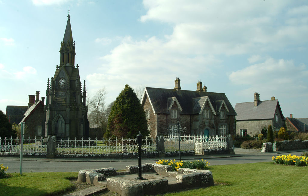 IndicatedFairy fort / earthen ringfort · 847 yd
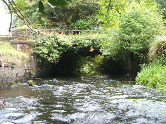 Kilshruley Manorbridge · 932 yd
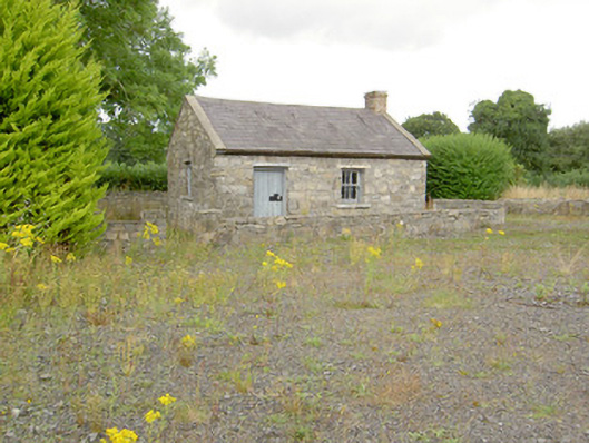 MacEoin's Forgeforge/smithy · 1113 yd
 Enclosure in DrumnaharaEnclosure · 1.1 mi
 Ballinalee Forest WalkForest · 1.2 mi
 Cloonfin WoodForest · 1.3 mi
 Bully's Acregraveyard/cemetery, unknown · 1.5 mi
 Bawn in CurrycahillBawn · 1.7 mi
 Clonfin Ambush MemorialMemorial · 1.7 mi
 BawnBawn · 2.4 mi
 InchmoreIslet · 4.3 mi
 Granard MotteMotte-and-bailey castle remains · 5.1 mi