What is recorded here
Fairy fort in Ballynora, County Cork: a circular earthen ringfort, 33 metres north-south and 29 metres east-west, with a 0.7-metre bank, outer berm, shallow saucer-shaped centre and a 2.4-metre gap to the north-east. It sits on a north-east-facing pasture slope above the Lee river valley, its line cut by a north-west to south-east roadway. People may have kept livestock there, marked a boundary, or simply followed the old shape of the land; the fairies, according to local story, never left.
In pasture, on NE-facing slope, looking across Lee river valley to N. Circular area (33m N-S; 29m E-W) defined by earthen bank (max. ext. H 0.7m) with berm on outer face. Inner bank face slopes gradually down towards centre giving saucer-shaped appearance to interior. Gap to NNE (Wth 2.4m). Roadway running NW-SE truncates enclosure on NE side.
The above description is derived from the published 'Archaeological Inventory of County Cork. Volume 2: East and South Cork' (Dublin: Stationery Office, 1994). In certain instances the entries have been revised and updated in the light of recent research.
Date of upload/revision: 14 January 2009
The monument record does not grant public access. Check the route and ask the landowner before entering private land.
- What survives
- Recorded monument
Places near here
 Mass-rock in BallymahMass-rock · 627 yd
 Sunday WellSpring · 725 yd
 Graveyard in BallynoraGraveyard · 1001 yd
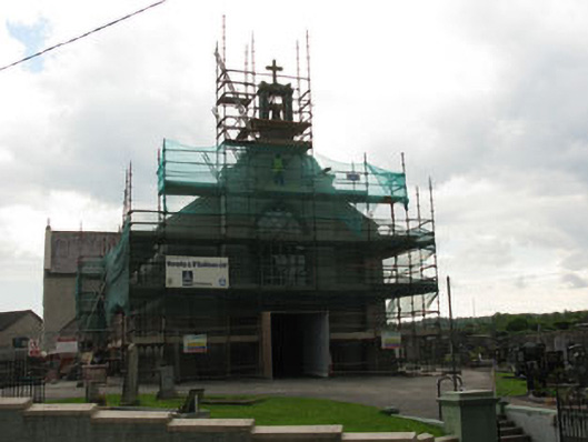 St James' Roman Catholic Churchchurch/chapel · 1006 yd
 Church in BallynoraChurch · 1111 yd
 Moated site in BallinveiltigMoated site · 1135 yd
 waterfallVisitor information · 1558 yd
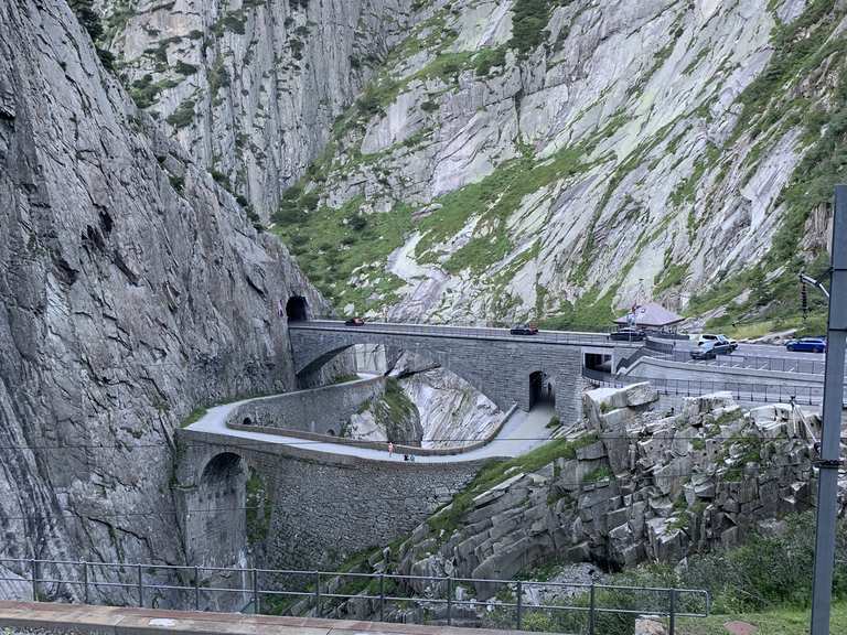 Monument WaterfallMonument · 1657 yd
 Corbally Montessori & Early Years' Pre-schoolVisitor information · 1753 yd
 Ballyburden Castle (Site of)Castle, unclassified · 1.3 mi
 Caslte (Site of)Castle, unclassified · 1.5 mi
 Cave in Ballincollig (muskerry East By., Carrigrohane Par.)Cave · 1.7 mi