What is recorded here
No visible trace remains, yet the 1840 map marked a thirty-five-metre circle in Ballynoe pasture before ploughs erased it. That sudden disappearance fits the fairy fort label, as if the earth reclaimed what humans wanted to measure. The missing ring becomes a trap for memory, forcing us to imagine lives inside boundaries that no longer exist.
Situated in gently undulating pasture. The monument, depicted by hachures as a circular enclosure (diam. c. 35m) on the 1840 OS 6-inch map but not indicated on the 1924 OS 6-inch map, has been leveled and there was no evident trace of it when inspected.
Compiled by: Denis Power
Date of upload: 27 March 2013
The monument record does not grant public access. Check the route and ask the landowner before entering private land.
- What survives
- Recorded monument
Places near here
 Not shownFulacht fia · 649 yd
 Enclosure in Island-DuaneEnclosure · 817 yd
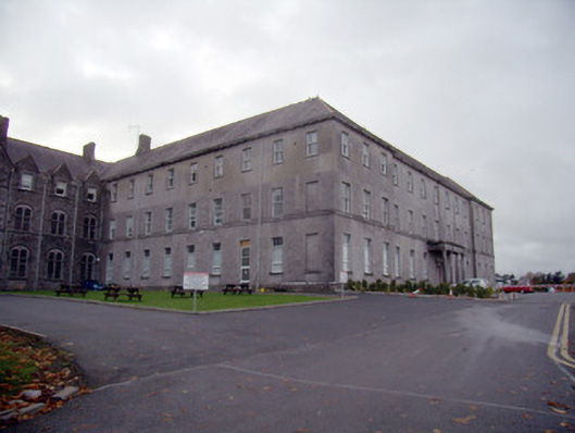 Mungret Collegecollege, stables · 1559 yd
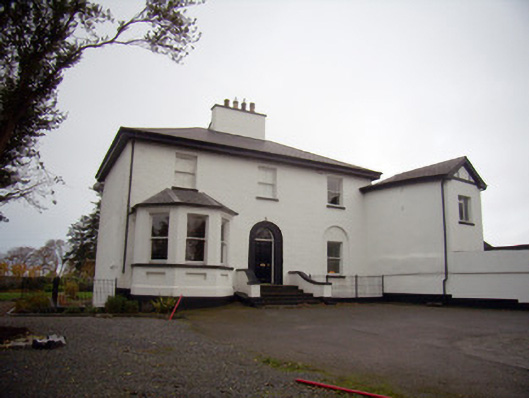 Mount Mungretrectory/glebe/vicarage/curate's house · 1601 yd
 Castle FieldCastle, unclassified · 1.6 mi
 Meelick Ho.House, fortified house · 2.8 mi
 Sailors HaggardMemorial · 3.6 mi
 Grass IslandIslet · 6.1 mi
 Fountain SculptureHeritage attraction · 6.1 mi
 Maiden RockNamed rock · 6.4 mi
 Mellon PointHeadland · 7.1 mi
 Bunratty Castlehouse · 7.4 mi