What is recorded here
No fort is left in Ballynoe except a hidden line in old survey and a field that never stopped being a field. The fort may have been small, shallow or removed long before anyone thought to protect it. What remains is the shape of loss: a place known only because it was almost destroyed twice, first by time and second by forgetting.
Situated in low-lying, gently undulating pasture. Indicated on the 1924 OS 6-inch map as an incomplete sub-rectangular platform (c. 50m E-W by c. 40m N-S) defined from NE to W by a scarped edge. The monument was not evident when inspected. A desk-based assessment carried out to ascertain the impact, if any, on the this monument by the proposed gas pipeline between Barnakyle and Coonagh West, Co. Limerick, confirmed that the construction wayleave would have no direct impact on it, which is c. 20m west of the wayleave. It was considered, however, that subsurface archaeological remains associated with the Recorded Monument might lie within the wayleave and therefore eight trenches were excavated. Testing by Dermot Nelis failed to reveal either subsurface features or portable finds- see Gas Pipeline to the West, Section 4- Report by Margaret Gowen & Co (2003).
Compiled by: Denis Power
Date of upload: 27 March 2013
The monument record does not grant public access. Check the route and ask the landowner before entering private land.
- What survives
- Recorded monument
Places near here
 Not shownFulacht fia · 161 yd
 Enclosure in Island-DuaneEnclosure · 269 yd
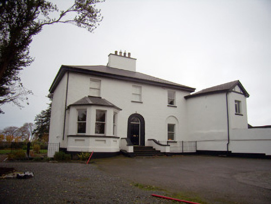 Mount Mungretrectory/glebe/vicarage/curate's house · 1388 yd
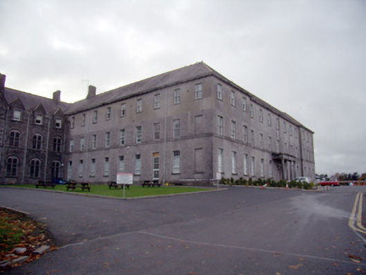 Mungret Collegecollege, stables · 1527 yd
 Castle FieldCastle, unclassified · 2.0 mi
 St James's WellSpring · 2.4 mi
 Meelick Ho.House, fortified house · 2.5 mi
 Sailors HaggardMemorial · 3.3 mi
 Grass IslandIslet · 5.8 mi
 Maiden RockNamed rock · 6.1 mi
 Mellon PointHeadland · 6.8 mi
 Bunratty Castlehouse · 7.1 mi