What is recorded here
Fairy fort / earthen ringfort in Ballynaraw South is a fairy fort or earthen ringfort in Ballynaraw South, County Sligo, Ireland. It stands in pasture on top of a drumlin as a raised circular area defined by an earthen bank, scarp and external dry fosse. Traces of a drystone revetment appear on the internal face of the bank along the west arc, while the interior remains raised above the external ground level. Two other raths lie nearby to the northeast.
In pasture, on top of a drumlin. A raised circular area (37.7m N-S; 33.5m E-W) defined by an earthen bank (Wth 3.8m; int. H 1.5m) SW-NE and by a scarp (H 1.4m) elsewhere. An external flat-bottomed dry fosse (Wth 5.8m; D 0.45m) is evident SE-WNW and N-NE. There are traces of a drystone revetment on the internal face of the bank along the W arc. The interior is raised 1.4m above the external ground level. Two other raths (SL038-072---- and SL038-071----) are c. 150m and c. 260m to NE, respectively.
The above description is derived from the published 'Archaeological Inventory of County Sligo' compiled by Ursula Egan, Elizabeth Byrne, Mary Sleeman with Sheila Ronan and Connie Murphy (Dublin Stationery Office, 2005).
Date of upload: 18 January 2008
The monument record does not grant public access. Check the route and ask the landowner before entering private land.
- What survives
- Recorded monument
Places near here
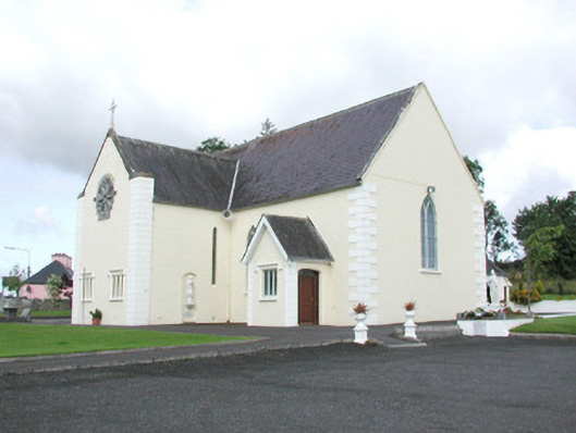 Catholic Church of the Sacred Heartchurch/chapel · 826 yd
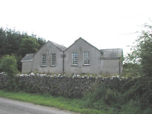 Bunnanaddan National Schoolschool · 941 yd
 Tymon's HillMountain / peak · 1109 yd
 Fulacht fia in Ballynaraw SouthFulacht fia · 1376 yd
 Castle (in Ruins)Castle, tower house · 1380 yd
 Ballyfahy Castle (in Ruins)Castle, unclassified · 1485 yd
 IndicatedEnclosure · 1531 yd
 Brother WalfridMemorial · 4.3 mi
 ElderElder · 4.5 mi
 Muckelty HillMountain / peak · 4.5 mi
 European ashEuropean ash · 4.9 mi
 Old Cave Burial GroundArchaeological place · 5.4 mi