What is recorded here
Fairy fort / earthen ringfort in Ballynamrossagh is a fairy fort or earthen ringfort in Ballynamrossagh, County Tipperary, Ireland. The circular area is 26 metres across and sits in pasture on a north-northwest-facing slope. A probable entrance 4 metres wide opens at the north-northwest, while a low bank and external ditch mark parts of the boundary. The interior slopes gently toward the north-northwest and holds occasional deciduous trees with briars in the southeast quadrant.
In pasture, on a NNW-facing slope. Circular area (diam. 26m) defined by scarp (Wth 1.1m; H 0.12m) SSW-N-SSE, best defined (Wth 1.85m; H 0.75m) NW-E and low bank (Wth 4.5m; int. H 0.4m; ext. H 0.2m) SSE-S-SSW and an external fosse (Wth 2.9-4.15m; D 0.2-0.3m) ENE-S-NW. Probable entrance (Wth 4m) at NNW. Interior has gentle NNW-facing slope and is planted with occasional deciduous trees; briars in SE-quadrant.
Compiled by: Jean Farrelly
Date of upload: 26 August 2011
The monument record does not grant public access. Check the route and ask the landowner before entering private land.
- What survives
- Recorded monument
Places near here
 Enclosure in ShroughEnclosure · 687 yd
 Shrough Passage TombArchaeological place · 1649 yd
 SlievenamuckMountain / peak · 1656 yd
 MoatCastle, motte · 1.1 mi
 Mount Bruishouse · 1.1 mi
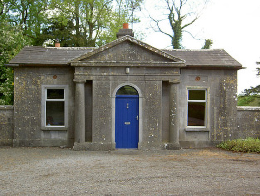 Mooresfort Housegate lodge · 1.5 mi
 CastleCastle, ringwork · 1.6 mi
 Bansha ForestForest · 2.0 mi
 Knockanebrack HillMountain / peak · 2.9 mi
 Glen of AherlowViewpoint · 3.4 mi
 Christ the KingViewpoint · 3.5 mi
 Darby's Bed Walk LoopWalking route · 3.7 mi