What is recorded here
Fairy fort / earthen ringfort in Ballynamony (leitrim By.) stands at the top of a south-facing slope on a drumlin ridge in County Leitrim. A circular grass-covered area about thirty-eight metres wide marks the site, bounded by a slight bank and shallow scarp rather than a deep ditch or visible gate. It may have been a human stronghold, a boundary marker, or a place people avoided because they believed fairies lived there. The land still holds the shape, even if the purpose has faded from memory.
Situated at the top of the S-facing slope at the S end of a NE-SW drumlin ridge. It was first identified by S. Curran from a LIDaR survey conducted for Leitrim County Council in advance of a proposed by-pass on the N4 around Carrick-on-Shannon. It is traceable as a circular or D-shaped grass-covered area (diam. c. 38m N-S; c. 35m E-W) defined by a slight bank (Wth 4-6m; H 0.1-0.3m) at N and E and by a slight scarp E-S (max. H 0.7m). There is no evidence of a fosse or entrance.
Compiled by: Michael Moore
Date of upload: 9 April, 2013
The monument record does not grant public access. Check the route and ask the landowner before entering private land.
- What survives
- Recorded monument
Places near here
 fortsFairy fort / earthen ringfort · 460 yd
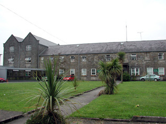 Saint Patrick's Hospitalworkhouse · 975 yd
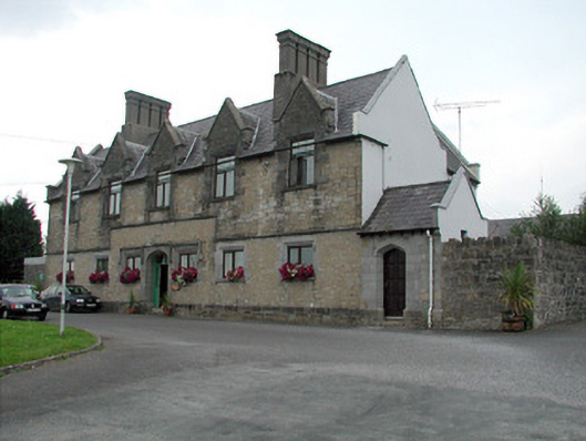 Summerhill Lodgeworkhouse administration block · 1018 yd
 CastlecarraCastle, unclassified · 1588 yd
 Enclosure in CloonmulliganEnclosure · 1643 yd
 Moon RiverHeritage attraction · 1.2 mi
 PortCastle, unclassified · 1.5 mi
 Hughestown WoodForest · 2.8 mi
 InishnagonIsland · 3.6 mi
 Leabaidh DermotCave · 3.7 mi
 Patrick Gill Memorial Plaque (IRA)Monument · 3.8 mi
 Robert Strawbridge MemorialMemorial · 3.8 mi