What is recorded here
Situated on a low natural rise in fairly well drained pasture land, with moderate views of the surrounding countryside. Rock of Curry and Hill of Mael visible from the site. D-shaped area (diam. 43m N-S) with straight side at W enclosed by a poorly preserved earth and stone bank with slight traces of a shallow fosse and external bank only visible from SW-W-N-NE. Entrance gap at SE. The interior is quite uneven with a gentle rise towards the centre. From the centre the ground slopes quite appreciably to the bank at E, S & SE. In the SW quadrant of the interior, a triangular shaped depression may be the result of post-1700 quarrying.
Compiled by: Frank Coyne & Caimin O'Brien
Date of upload: 4 January 2017
The monument record does not grant public access. Check the route and ask the landowner before entering private land.
- What survives
- Recorded monument
Places near here
 OutlinedFairy fort / earthen ringfort · 503 yd
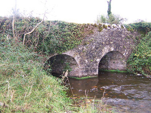 bridgebridge · 530 yd
 Lickbla Housecountry house · 771 yd
 IndicatedFairy fort / earthen ringfort · 772 yd
 Rock of CurryCliff · 1.3 mi
 Turbotstown Ho.Castle, unclassified · 1.3 mi
 TowerCastle, tower house · 1.5 mi
 European ashEuropean ash · 1.7 mi
 European BeechEuropean Beech · 2.0 mi
 Mullaghmeen ForestPicnic place · 3.5 mi
 Mullaghmeen Red WalkWalking route · 3.6 mi
 Mullaghmeen White WalkWalking route · 3.6 mi