What is recorded here
Fairy fort / earthen ringfort in Ballynahow (Bruis parish) is a fairy fort or earthen ringfort in Ballynahow (Bruis parish), County Tipperary, Ireland. It occupies a circular area 27 metres north-south and 29 metres east-west above a natural scarp near the River Ara. The site preserves an intervening bank, two fosses and an outer bank with a southwest gap, while cattle wear and partial backfilling have softened parts of the earthworks.
In improved pasture, above natural scarp of flood plain, c. 5m to S of River Ara. Circular area (dims. 27m N-S; 29m E-W) defined by scarp (Wth 1.85-2.9m; H 0.3-0.85m), an intervening fosse (basal Wth 2.15m; overall Wth 5m; D 0.6m), an intervening bank (Wth 4.35-4.95m; int. H 0.6-0.8m; ext. H 0.65-1.45m), an outer fosse (basal Wth 1.6m; overall Wth 4.65m; D 0.7m) evident from NNW-NNE and ESE-W and an outer bank (Wth 4.4m; int. H 0.7m; ext. H 0.4m) is evident from NNW-NNE, ESE and SSE-W and has a gap (Wth 0.8m) at SW. The ringfort defined by a natural rise SW-WSW. The interior is slightly uneven due to growth of deciduous trees. The internal scarp has occasional gaps (Wth 1.5m) WNW-NW and is worn by cattle from ENE-SSE. The intervening bank is slightly lower NE-ENE and slightly higher at ESE and has several gaps, one (Wth 1.8m) at WNW, two (Wth 1.5m) at E and one (Wth 4m) at SE. The outer fosse is partially backfilled from ESE-SE. An enclosure (TS066-061----) is c. 150m to SW.
Compiled by: Jean Farrelly
Date of upload: 26 August 2011
The monument record does not grant public access. Check the route and ask the landowner before entering private land.
- What survives
- Recorded monument
Places near here
 Enclosure in Ballynahow (bruis Par.)Enclosure · 228 yd
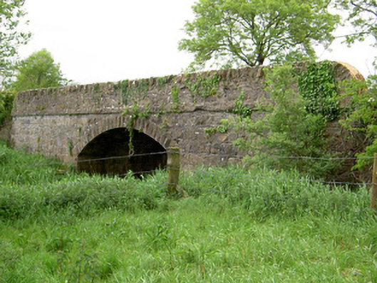 Bohereenbuee Bridgebridge · 282 yd
 Enclosure in Shronell (bruis Par.)Enclosure · 667 yd
 Church in Deerpark (shronell Par.)Church · 1466 yd
 MoatCastle, motte · 1657 yd
 Site of CastleCastle, unclassified · 1.4 mi
 SlievenamuckMountain / peak · 2.5 mi
 Bansha ForestForest · 2.6 mi
 Glen of AherlowViewpoint · 3.4 mi
 Christ the KingViewpoint · 3.4 mi
 The RockViewpoint · 3.4 mi
 Oola HillMountain / peak · 4.7 mi