
What is recorded here
In improved, gently undulating pasture. Circular area (dims. 19m N-S; 20m E-W) defined by scarp (Wth 3.15m; H 0.9m) W-N-S and levelled bank (Wth 8.9m; int. H 0.3m; ext. H 0.8m) S-W. Possible entrance (Wth 6m) at WNW is denoted by low scarp. Fosse is visible S-NNW and is best defined (overall Wth 12.4m; basal Wth 7m; D 0.3m) SW-NW. Outer bank (Wth 7.75m; int. H 0.3m; ext. H 0.25m) WSW-NW and very poorly preserved remains S-WSW. Interior is slightly uneven. Enclosure (TS066-052----) is c. 150m to NNW.
Compiled by: Jean Farrelly
Date of upload: 26 August 2011
The monument record does not grant public access. Check the route and ask the landowner before entering private land.
- What survives
- Recorded monument
Places near here
 Enclosure in Shronell Beg,shronell MoreEnclosure · 191 yd
 Enclosure in Ballynahow (bruis Par.)Enclosure · 643 yd
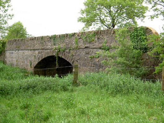 Bohereenbuee Bridgebridge · 932 yd
 Church in Deerpark (shronell Par.)Church · 1140 yd
 MoatCastle, motte · 1707 yd
 CastleCastle, ringwork · 1.3 mi
 SlievenamuckMountain / peak · 2.6 mi
 Bansha ForestForest · 2.8 mi
 Glen of AherlowViewpoint · 3.7 mi
 Christ the KingViewpoint · 3.8 mi
 The RockViewpoint · 3.8 mi
 Oola HillMountain / peak · 4.5 mi
Other information
Photo: Credit not shown in the picture search · Rights wording not checked; contact us if this picture should be removed