What is recorded here
Ballynaguila held a thirty-metre embanked ring on a limestone ridge before ploughs and progress erased it. The 1923 map still draws its broken circle, but the pasture presents only flat grass and quiet air. What rath is half-remembered by a field and half-forgotten by a map may have been a home, a boundary marker, or a chamber where the visible world thinned. Fairy forts do not need to be fairies; they need only to resist explanation.
In pasture, at W end of low ridge in area of outcropping limestone. Monument, depicted as embanked penannular enclosure (diam. c. 30m) on 1923 OS 6-inch map, has been levelled. No trace of monument evident when inspected.
Compiled by: Denis Power
Date of upload: 26 August 2011
The monument record does not grant public access. Check the route and ask the landowner before entering private land.
- What survives
- Recorded monument
Places near here
 Lissamota CastleCastle · 702 yd
 Burial Gd. for ChildrenChildren's burial ground · 1587 yd
 Burial GroundBurial ground · 1656 yd
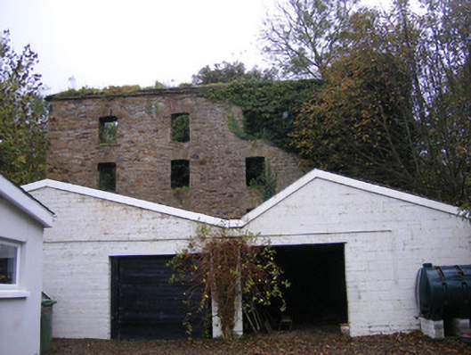 mill (water)mill (water) · 1.1 mi
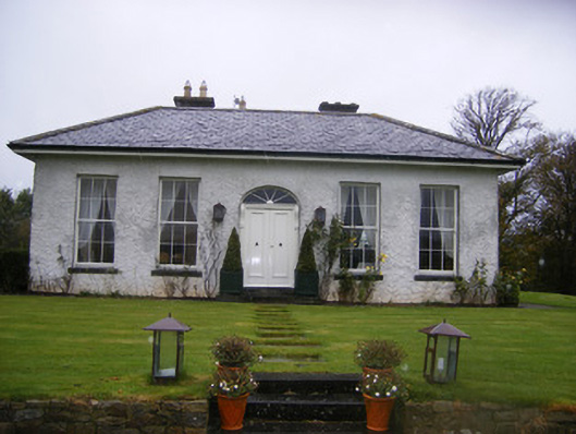 Fort William Housecountry house · 1.1 mi
 Castle (in ruins)Castle, tower house · 1.3 mi
 Flat cemetery in Kiltenan SouthFlat cemetery · 1.9 mi
 Famine stoneMemorial · 2.4 mi
 KnockfeerinaMountain / peak · 2.8 mi
 Kinnoor WellSpring · 3.2 mi
 LaghtpatrickSpring · 4.0 mi
 European ashEuropean ash · 4.3 mi