What is recorded here
No visible trace remains of the Ballynagarbragh ringfort, yet the 1842 survey still marked a twenty-metre circle on the north-facing slope. Power called one local example an excellent specimen in 1918, suggesting sturdy walls once stood where pasture now covers the ground. The earth has swallowed the boundary, but the shape persists in memory and measurement.
In pasture, on N-facing slope. Shown as circular enclosure (diam. c. 20m) on 1842 OS 6-inch map. No visible surface trace. Power (1918, 186) refers to two ringforts in this townland (CO064-067---; CO064-114---) one of which 'is an excellent specimen, excellently preserved'.
The above description is derived from the published 'Archaeological Inventory of County Cork. Volume 2: East and South Cork' (Dublin: Stationery Office, 1994). In certain instances the entries have been revised and updated in the light of recent research.
Date of upload/revision: 14 January 2009
The monument record does not grant public access. Check the route and ask the landowner before entering private land.
- What survives
- Recorded monument
Places near here
 Carberrytown WoodWood · 733 yd
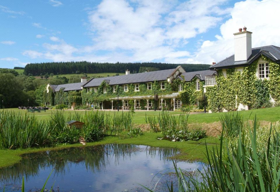 Brooklodge HouseCountry house · 1073 yd
 Brookvillegate lodge · 1098 yd
 Old Court (Site of)Castle, unclassified · 1691 yd
 IndicatedFairy fort / earthen ringfort · 1.1 mi
 Church (Site of)Church · 1.2 mi
 Ashbourne ParkWood · 1.5 mi
 Gleeson MemorialMemorial · 2.0 mi
 Harper's IslandIslet · 2.3 mi
 Sarsfields Court (in Ruins)Castle, unclassified · 2.6 mi
 Goat IslandIslet · 4.9 mi
 Thomas Kent StationMemorial · 5.2 mi