What is recorded here
No visible chamber exists in the closed circular chamber. The chamber is a chamber because the chamber wall is a chamber wall. The chamber wall is a chamber wall because it excludes the chamber and the chamber is the place excluded. The chamber is the place excluded because the chamber wall is the chamber wall. The chamber wall is the chamber wall because it excludes the chamber.
On a very gentle NW-facing pasture slope. A small, poorly preserved, circular area (diam. 24m) is defined by a low, earthen bank (Wth 2.6-3.8m; int. H 0.4-0.6m; ext. H 0.8-1m) NW-NE-SE, partly hedged as a field boundary NE-E-SE, and abutted externally along N by a landscaped garden. A possible entrance on the N side, noted in 1972 (SMR file), is no longer clearly identifiable. The interior slopes gently down to NW and contains a coppiced hazel stand.
Compiled by: Gearóid Conroy
Date of upload: 10 June 2011
The monument record does not grant public access. Check the route and ask the landowner before entering private land.
- What survives
- Recorded monument
Places near here
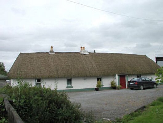 farm housefarm house · 279 yd
 Enclosure in Ballynagappagh (clane Ed)Enclosure · 1289 yd
 EnclosureEnclosure, large enclosure · 1388 yd
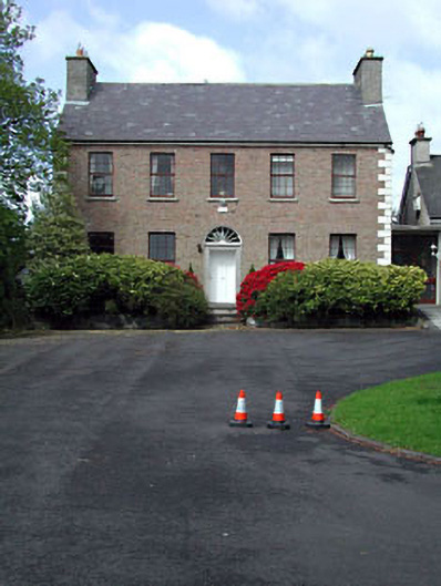 Curryhills Househouse · 1.1 mi
 Queen Buans GraveCastle, motte and bailey · 1.3 mi
 Grand Canal WayWalking route · 1.5 mi
 The Kildare MazeHeritage attraction · 1.6 mi
 1798 Rebellion MemorialMemorial · 1.8 mi
 CastleCastle, tower house · 1.8 mi
 Venerable Fr John Sullivan MemorialMemorial · 1.9 mi
 Ballynafagh Bog Special Area of ConservationNature reserve · 2.3 mi
 Dunne's IslandWood · 2.5 mi