What is recorded here
Fairy fort / earthen ringfort in Ballynadrideen was a circular earthwork about twenty metres across, marked on maps from 1842 to 1936 before ploughing erased it. It sat on a gentle slope near Ballynadrideen cross roads, likely serving as a boundary marker, shelter or ritual spot for nearby people. Its disappearance reminds us that much of Cork’s ancient landscape has already vanished beneath boots, wheels and forgetting.
In pasture, on gentle NE-facing slope, to NW of Ballynadrideen cross roads. Depicted as hachured circular enclosure on 1842 and 1905 OS 6-inch maps, with surrounding fosse on 1905 OS 6-inch map; as hachured circular raised area (diam. c. 20m) on 1936 OS 6-inch map, surrounded by fosse to N and E. Levelled; no visible surface trace of site.
The above description is derived from the published 'Archaeological Inventory of County Cork. Volume 4: North Cork' (Dublin: Stationery Office, 2000). In certain instances the entries have been revised and updated in the light of recent research.
Date of upload/revision: 14 January 2009
The monument record does not grant public access. Check the route and ask the landowner before entering private land.
- What survives
- Recorded monument
Places near here
 Moated site in ArdnageehyMoated site · 619 yd
 ExcavationExcavation, miscellaneous · 705 yd
 Eglis a Dridin (in Ruins)Church · 807 yd
 CastleCastle, motte · 1047 yd
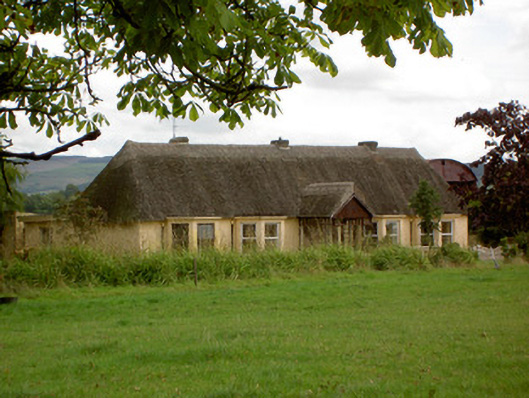 Ballynoran Househouse · 1071 yd
 Castle Harrison on Site of Castle (19*Castle, unclassified · 1.5 mi
 Holy Cross CemeteryGraveyard · 2.6 mi
 Ballyhoura WayWalking route · 2.7 mi
 CarrigeenMountain / peak · 2.9 mi
 Windmill HillMountain / peak · 3.2 mi
 BallinaboolaVisitor information · 3.2 mi
 Rogan's Rock CovertWood · 4.4 mi