What is recorded here
That is the end of the available evidence for the named place. Keep only what the correct source shows and ask for help when one fact is still missing.
On an E-facing slope in grassland. A poorly preserved oval rath (c. 25m E-W) defined by a degraded earthen bank with traces of an external fosse at W. A children's burial ground (GA115-006001-) is associated.
Compiled by: Galway Archaeological Survey, UCG
Date of upload: 5 January 2017
The monument record does not grant public access. Check the route and ask the landowner before entering private land.
- What survives
- Recorded monument
Places near here
 Soldier's Bridgebridge · 890 yd
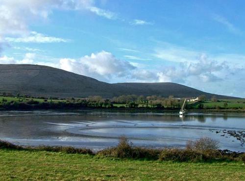 Quarry in BallynacurraghQuarry · 1276 yd
 IndicatedField boundary · 1689 yd
 Enclosure in BallygunneenEnclosure · 1.1 mi
 Site of CastleCastle, unclassified · 1.2 mi
 Bawn in Deerpark (kilchreest Ed)Bawn · 1.6 mi
 Scalpeen RockNamed rock · 2.6 mi
 Ash IslandIslet · 3.0 mi
 Blake's IslandIslet · 3.4 mi
 KnockapollboyMountain / peak · 3.7 mi
 Long PointHeadland · 3.8 mi
 Derrybrien Bog SlideHeritage attraction · 5.2 mi