
What is recorded here
On the NW-facing slope of a hill in scrubland. Depicted on the 1838 edition of the OS 6-inch map as a roughly hachured subrectangular enclosure within a large mixed plantation of fir trees and bushes. The interior was clear of growth. On the 1921 edition of the map it shown as an oval enclosure (c. 55m E-W; c. 40m N-S) and, again, the interior was clear of growth. When initially inspected in October 1982 the monument was completely overgrown and almost inaccessible. On re-inspection in July 1992 it could not be located due to overgrowth.
Compiled by: Galway Archaeological Survey, UCG
Date of upload: 13 February 2019
The monument record does not grant public access. Check the route and ask the landowner before entering private land.
- What survives
- Recorded monument
Places near here
 Bawn in Deerpark (kilchreest Ed)Bawn · 1231 yd
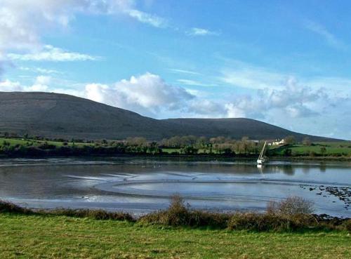 Quarry in BallynacurraghQuarry · 1663 yd
 Man-made underground passage in BallymullenMan-made underground passage · 1.0 mi
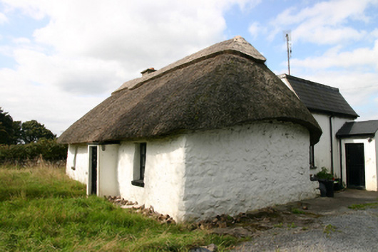 Kirra Cottagehouse · 1.1 mi
 IndicatedField boundary · 1.1 mi
 Bawn in Cloghaun (loughrea By.)Bawn · 1.3 mi
 Scalpeen RockNamed rock · 3.2 mi
 KnockapollboyMountain / peak · 3.9 mi
 Ash IslandIslet · 3.9 mi
 Blake's IslandIslet · 4.1 mi
 Long PointHeadland · 4.7 mi
 Derrybrien Bog SlideHeritage attraction · 5.8 mi
Other information
Photo: Credit not shown in the picture search · Rights wording not checked; contact us if this picture should be removed