What is recorded here
Mortals may have been the first to circle the fort, but the fairies never stopped claiming it. They took the ring back the moment people left it empty, which is why the earth still holds its shape while human memory has gone soft around the edges. Ballynacarrig keeps both truths without deciding between them.
In pasture on level ground. Circular area (38.5m N-S; 40m E-W) enclosed by earthen bank (Wth 2m; H 2m) and external fosse (Wth 5.3m; ext. D 0.85m). Possible destroyed entrance gap (Wth 4.5m) at NW.
The above description is derived from the published 'Archaeological Inventory of County Offaly' (Dublin: Stationery Office, 1997). In certain instances the entries have been revised and updated in the light of recent research.
Date of upload: 23 May 2011
The monument record does not grant public access. Check the route and ask the landowner before entering private land.
- What survives
- Recorded monument
Places near here
 Enclosure in BallynacarrigEnclosure · 831 yd
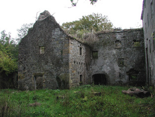 Ballinacarrig Millsmiller's house, mill (water) · 1237 yd
 Enclosure in BallindrinnanEnclosure · 1252 yd
 Ballynacarrig Br.Bridge · 1285 yd
 Knockhill GroveWood · 1.6 mi
 Church (in Ruins), Graveyard, CarrigeenChurch · 1.8 mi
 MoatCastle, motte and bailey · 2.0 mi
 Graveyard in Ballyboy (ballyboy By.)Graveyard · 2.0 mi
 Site of CastleCastle, unclassified · 2.2 mi
 Giant's Grave LoopWalking route · 3.1 mi
 Lowerton HillMountain / peak · 3.3 mi
 Kinnitty ForestForest · 3.4 mi