What is recorded here
Not visible at ground level. Marked on first two editions of the OS 6-inch maps as a large circular enclosure.
From the National Monuments Service (Archaeological Survey of Ireland) record OF032-008
The monument record does not grant public access. Check the route and ask the landowner before entering private land.
- What survives
- Recorded monument
Places near here
Photo credits
- National Inventory of Architectural Heritage
- Jonathan Thacker, Geograph · Creative Commons Attribution-ShareAlike 2.0
- Oliver Dixon, Wikimedia Commons · CC BY-SA 2.0
- Zepherb, Wikimedia Commons · CC BY-SA 4.0
- Mooro1, Wikimedia Commons · CC BY-SA 4.0
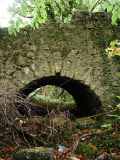 Ballinacarrig MillsMill race · 338 yd
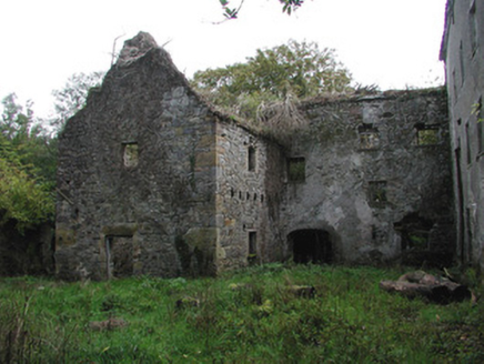 Ballinacarrig MillsMiller's house, mill (water) · 472 ydKnockhill GroveWood · 1.6 miMoatCastle, motte and bailey · 1.7 miGraveyard in Ballyboy (ballyboy By.)Graveyard · 1.8 miRathlihen Castle (ruins)Castle · 2.0 miChurch (in Ruins), Graveyard, CarrigeenChurch · 2.3 miLowerton HillMountain / peak · 2.9 mi
 ToberlugnaHoly well · 3.5 mi
 Lough Boora Sculpture ParkMuseum · 4.5 mi
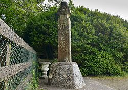 Stone CrossCross, High cross (present location) · 5.0 mi
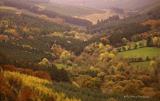 Slieve Bloom MountainsMountain range · 6.1 mi
More archaeology and monuments in County Offaly · All of County Offaly
What do you know about this place?