What is recorded here
Fairy fort / earthen ringfort in Ballynaboll is a fairy fort or earthen ringfort in Ballynaboll, County Sligo, Ireland. It occupies a low natural rise on a gentle northwest-facing slope where an earthen bank and curving field boundary enclose a subcircular area. The interior features a gently domed profile with two small stone heaps, while hawthorn and ash trees ring the perimeter. Another rath remains visible to the northeast.
In pasture, encompassing a low natural rise on a gentle NW-facing slope with good views in all directions. A subcircular area (39m N-S; 36m E-W) enclosed SE-NW by an earthen bank (Wth 2.7m; int. H 0.1m; ext. H 1.3m) with a low internal lip, and by curving field boundary (Wth 2m; int. H 0.7m; ext. H 1.1m) NNW-SE. The bank at S and W appears to be linear. There is a break (Wth 2.3m) in the bank at SE. Outside the bank SW-NW, coinciding with a natural break of slope, is a terrace (Wth 1.5m) defined on the outer edge by a broadly sloping scarp (H 0.7m). The scarp falls to a strip of flat wet ground that may incorporate a fosse (Wth c. 2-2.5m). The damp ground is bordered to W by a road flanked by field walls but from NW-NNW there is a slight rise (Wth 2.5-3m) which may be the remnant of an outer bank. The interior has a gently domed profile; from a central N-S spine (c. 10m E-W) of level elevated ground it slopes down to the perimeter at SW-W and more markedly at NE-E. Two small heaps of stones (diam. c. 2m; H 0.4m) were noted in the E half of the interior. The perimeter is thickly ringed with hawthorn and ash trees. Another rath (SL026-058----) is visible to NE.
The above description is derived from the published 'Archaeological Inventory of County Sligo' compiled by Ursula Egan, Elizabeth Byrne, Mary Sleeman with Sheila Ronan and Connie Murphy (Dublin Stationery Office, 2005).
Date of upload: 18 January 2008
The monument record does not grant public access. Check the route and ask the landowner before entering private land.
- What survives
- Recorded monument
Places near here
 Holy well in Annagh More (leyny By.)Holy well · 591 yd
 Knocknahook fortFairy fort / earthen ringfort · 733 yd
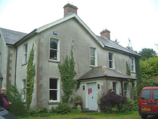 Heathfield Househouse · 890 yd
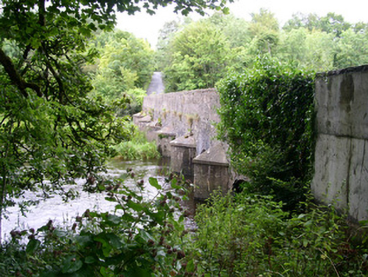 Ardcree Bridgebridge · 1564 yd
 Castle (Site of)Castle, unclassified · 1.1 mi
 Moymlough Castle (in Ruins)Castle, tower house · 2.1 mi
 Tullaghan HillMountain / peak · 3.2 mi
 CroaghaunMountain / peak · 3.2 mi
 James MorrisonMemorial · 3.3 mi
 European ashEuropean ash · 3.7 mi
 ElderElder · 3.7 mi
 RinnatalleenHeadland · 4.9 mi