What is recorded here
Situated in pasture. A stepped barrow (WM030-065----) lies c. 95m to NE. Not depicted on OS mapping,within an area depicted as a subrectangular-shaped field (approx. dims. 65m ENE-WSW; 40m NNW-SSE). Levelled monument described in 1982 as a slightly raised area (approx. dims. 28m E-W; 24m N-S) enclosed by a ring of large, rough boulders. No fosse or other archaeological features were noted. Monument appears to have been recently levelled and scrub which had been removed from it had been dumped in the centre of the remains. Monument is not visible today on Digital Globe aerial photography.
Compiled by Alison McQueen, Vera Rahilly and Caimin O’Brien.
Date of upload: 08 November 2019
The monument record does not grant public access. Check the route and ask the landowner before entering private land.
- What survives
- Recorded monument
Places near here
 Partially indicatedEnclosure · 592 yd
 Ecclesiastical enclosure in FassaghEcclesiastical enclosure · 1087 yd
 TullymagawlyBawn · 1159 yd
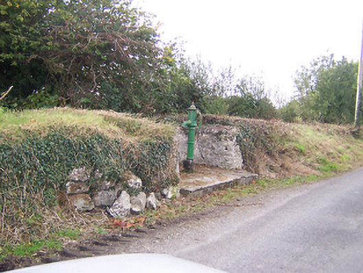 water pumpwater pump · 1583 yd
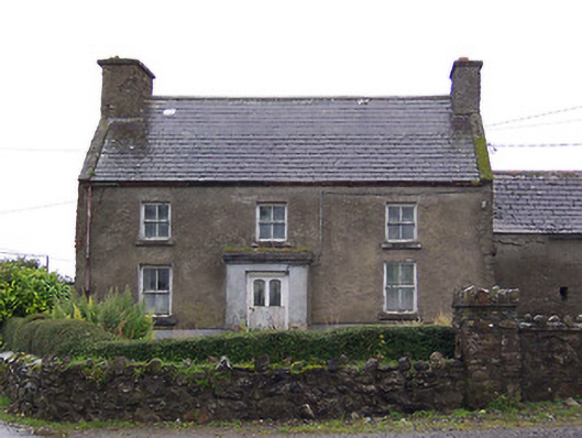 Nahod Beag Househouse · 1.0 mi
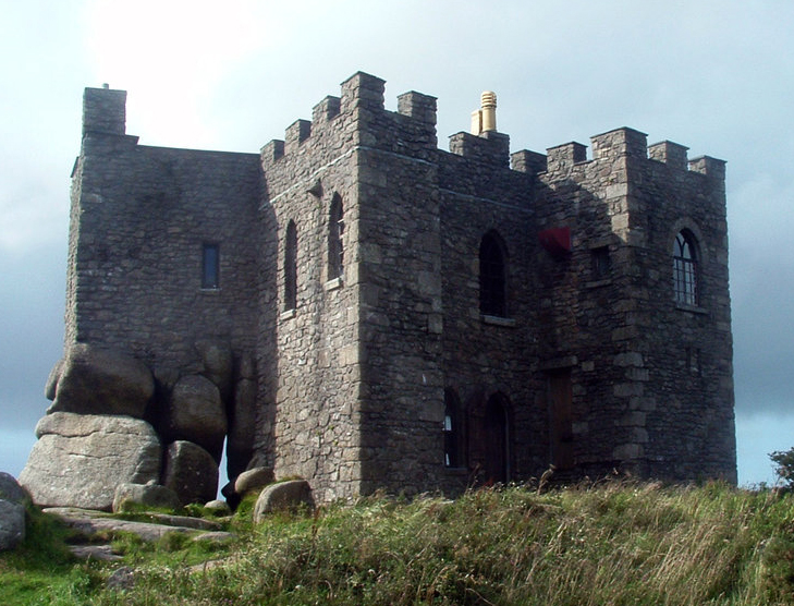 Carn CastleCastle, tower house · 1.2 mi
 Dún na SíMuseum · 3.2 mi
 Dún na Sí Heritage CentreMuseum · 3.2 mi
 Charles BianconiMemorial · 4.0 mi
 European ashEuropean ash · 4.0 mi
 Temple's IslandIslet · 4.8 mi