What is recorded here
Two earthen banks and a fourteen-foot ditch encircled a small world on the Ballymurragh East hillock until heavy machines flattened it in the late 1970s. The soil forgot the shape quickly, but the irises did not; they still trace the vanished ditch in a forty-five-foot ring, purple beads strung across ordinary pasture. What was lost is a chamber, a workshop, a nursery or a cage. The flowers keep the boundary sharp while human memory blunts, marking the fort as a living line rather than a dead ruin.
In pasture, atop low hillock. Monument, depicted as embanked circular enclosure (diam. c. 40m) on 1924 OS 6-inch map, has been levelled. According to local information monument levelled in late 1970's and was enclosed by two earthen banks with an intervening fosse approximately 14 feet in width. A ring of flag irises (diam. c. 45m) now marks line of fosse.
Compiled by: Denis Power
Date of upload: 26 August 2011
The monument record does not grant public access. Check the route and ask the landowner before entering private land.
- What survives
- Recorded monument
Places near here
 Enclosure in Ballymurragh EastEnclosure · 255 yd
 bridgebridge · 1074 yd
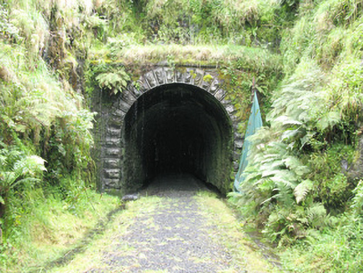 tunneltunnel · 1588 yd
 Enclosure in GlendarraghEnclosure · 1.1 mi
 Sugar HillMountain / peak · 2.5 mi
 Glenquin CastleCastle · 2.6 mi
 Limerick GreenwayWalking route · 2.7 mi
 TobereenalaffinaSpring · 2.8 mi
 Templars Castle (in ruins)Castle, Anglo-Norman masonry castle · 3.0 mi
 Saint Ite's WellSpring · 3.2 mi
 Barnagh HillMountain / peak · 4.0 mi
 Lawson's CypressLawson's Cypress · 7.5 mi