What is recorded here
No visible fort remains at Ballymurragh East, though the land still holds the shape of a lost enclosure. The ground there is marked by a shallow oval scar, not a standing wall, and the name preserves what the soil no longer shows. What was built, when it was built, and why it was abandoned have all left the place without a trace that can be dated or described.
In undulating pasture, on S side of stream. Oval area (19m N-S; 22.3m E-W) defined by scarped edge (H 0.5m). Scarp on N side rises immediately from bank of stream. Interior divided in half by scarp (H 0.25m) which leaves N half higher. Otherwise interior level and clear of overgrowth. Immediately to SE is circular enclosure (LI036-195---), immediately beyond which is ringfort (LI036-194---).
Compiled by: Denis Power
Date of upload: 26 August 2011
The monument record does not grant public access. Check the route and ask the landowner before entering private land.
- What survives
- Recorded monument
Places near here
 Enclosure in Ballymurragh EastEnclosure · 35 yd
 bridgebridge · 844 yd
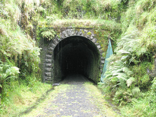 tunneltunnel · 1422 yd
 Enclosure in GlendarraghEnclosure · 1614 yd
 Sugar HillMountain / peak · 2.4 mi
 Limerick GreenwayWalking route · 2.5 mi
 Glenquin CastleCastle · 2.7 mi
 TobereenalaffinaSpring · 2.7 mi
 Templars Castle (in ruins)Castle, Anglo-Norman masonry castle · 3.0 mi
 Saint Ite's WellSpring · 3.4 mi
 Barnagh HillMountain / peak · 4.0 mi
 Lawson's CypressLawson's Cypress · 7.4 mi