What is recorded here
Fairy forts are not for the use of men, they are for the use of the fairies. The best thing is to leave them be. They will leave you be if you do. If you break into their fort or camp, they will not leave you be. They will hunt you and mark you. This is a warning, not a threat. The fairies do not pretend. They show what they are. That is why they are easy to fear and hard to forget.
Internal diam. 21m. A subcircular area enclosed by an earthen bank and external fosse. The bank is much disturbed and the fosse recently deepened. The remains of a lime-kiln are set internally against the W side. It is situated on cultivated land sloping gently to the Bradoge river to the S.
The above description was derived from the 'Archaeological Survey of County Donegal. A description of the field antiquities of the County from the Mesolithic Period to the 17th century.' Compiled by: Brian Lacey with Eamon Cody, Claire Cotter, Judy Cuppage, Noel Dunne, Vincent Hurley, Celie O'Rahilly, Paul Walsh and Seán Ó Nualláin (Lifford: Donegal County Council, 1983). In certain instances the entries have been revised and updated.
Date of upload: 22 September 2008
The monument record does not grant public access. Check the route and ask the landowner before entering private land.
- What survives
- Recorded monument
Places near here
 Bradoge Bridgebridge · 548 yd
 ToberpatrickHoly well · 1725 yd
 TobernacreevaHoly well · 1.0 mi
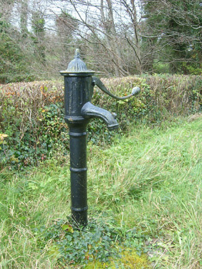 water pumpwater pump · 1.8 mi
 InishmeanIslet · 2.0 mi
 InishkeenIslet · 2.2 mi
 Castle in ruinsCastle, unclassified · 2.2 mi
 Rosfriar PointHeadland · 2.3 mi
 Lareen BayBay · 2.3 mi
 St Anne's Church GraveyardGraveyard · 2.4 mi
 CastleCastle, tower house · 2.9 mi
 Finner Old GraveyardGraveyard · 3.2 mi