What is recorded here
Fairy fort / earthen ringfort in Ballymeeny (jones) is a fairy fort or earthen ringfort in Ballymeeny (jones), County Sligo, Ireland. It occupies rough, wettish pasture on a low northwest-southeast ridge, forming a raised circular area roughly twenty-three by nineteen metres. Remnants of an earthen bank and a slight scarp define the southern and northwestern edges, while a shallow fosse and external bank appear outside the southwestern boundary. A hut site marks the eastern edge of the level interior, and a subrectangular enclosure lies immediately to the south.
In rough, wettish pasture, located on a low NW–SE ridge. Raised circular area (22.6m N–S; 19.4m E–W) defined S–NW by remnants of an earthen bank (Wth 2.4m; int. H 0.1m; ext. H 0.7m, at W) and elsewhere by a slight scarp. The bank/scarp coincides with a natural break of slope at NW–NE. Outside the bank at S–W there is a shallow fosse (Wth 2-2.5m, at W) with an external bank (Wth 2.9m; int. H 0.8m; ext. H 0.4m, at W), truncated at W by a later field fence on a NW–SE axis. There is a hut site (SL011-136001-) on the E edge of the level interior. Immediately to S of the rath there is a subrectangular enclosure (SL011-136002-).
Compiled by: Jane O’Shaughnessy
Date of upload: 22 April 2013
The monument record does not grant public access. Check the route and ask the landowner before entering private land.
- What survives
- Recorded monument
Places near here
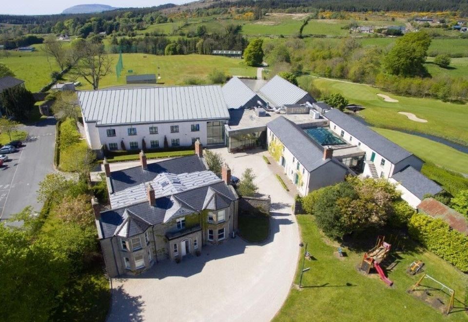 Enclosure in Ballymeeny (jones)Enclosure · 35 yd
 IndicatedFairy fort / earthen ringfort · 343 yd
 Glenburn Househouse · 749 yd
 Split RockNamed rock · 1186 yd
 CastleCastle, motte · 1724 yd
 Ballynahowna CastleCastle, tower house · 1.3 mi
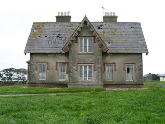 Templeviewhouse · 1.3 mi
 Cooanmore PointHeadland · 1.9 mi
 Jim Smith MemorialMemorial · 2.0 mi
 Wild Atlantic Way: Easky PierVisitor information · 2.4 mi
 Aughris BeachBeach / strand · 6.4 mi
 Eamonn's TopMountain / peak · 7.7 mi