What is recorded here
No visible fort remains in Ballymakeegan except a faint circular scar in the pasture and the memory of a fort drawn on an old map. That is not nothing. The field has already taken back the wall, the gate and most of the shape, but it has not erased the fact that people once built a boundary there. What is left is a circle large enough to walk around and quiet enough to imagine occupied.
On a gentle SE-facing slope in pasture. Depicted as a circular enclosure with the designation 'Fort' on the 1837 ed. of the OS 6-inch map. A report in 1975 (SMR file) noted that this slightly raised circular area (diam. 22.3m) was defined by a bank of earth and stone with an external fosse. It has since been levelled and is defined by an irregular scarp (H 0.4-0.7m), except from ENE-E-ESE where it has been destroyed due to the construction of a modern NE-SW field boundary. The outline of the fosse (Wth 3.1m) is still identifiable. The original entrance is not recognisable.
Compiled by: Patrick F. O'Donovan
Date of upload: 26 August 2011
This remains an important historical record, but the official description says the monument is no longer visible or has been destroyed. The monument record does not grant public access. Check the route and ask the landowner before entering private land.
- What survives
- No visible remains or recorded as destroyed
Places near here
 Holy well in FeraghfadHoly well · 1206 yd
 BarrowBarrow, unclassified · 1526 yd
 Church in AghafadChurch · 1674 yd
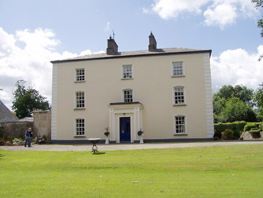 Viewmount Househouse · 1.0 mi
 First World War MemorialMemorial · 1.5 mi
 Saint Mel's CathedralCathedral · 1.6 mi
 Bawn in AbbeycartronBawn · 1.9 mi
 Graveyard in Curry (ardagh By., Coolamber Ed)Graveyard · 2.2 mi
 CastleCastle, Anglo-Norman masonry castle · 2.5 mi
 St. Barry's WellSpring · 6.7 mi
 Commons North WalkVisitor information · 9.1 mi
 Wild birdsVisitor information · 9.2 mi