
What is recorded here
Within the SE quadrant of an ecclesiastical enclosure (LF013-034001-). A report in 1975 (SMR file) noted that a series of low banks of earth and stone, rectangular in plan and orientated on an E-W axis, possibly marked the site of a church. A smaller square structure, defined by an earthen bank, extended to the N from it. A low earthen bank running to the E off the NE corner of this structure was possibly a subdividing bank associated with the ecclesiastical enclosure. None of these features are visible at ground level. A cross-inscribed pillar (LF013-034003-) is associated.
Compiled by: Caimin O'Brien
Date of upload: 4 June 2013
This monument is subject to a preservation order made under the National Monuments Acts 1930 to 2014 (PO no. 3/1979).
The monument record does not grant public access. Check the route and ask the landowner before entering private land.
- What survives
- Recorded monument
Places near here
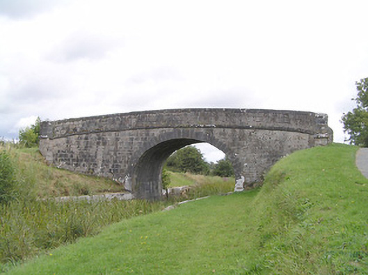 Farranyoogan Bridgebridge · 728 yd
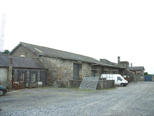 Longford Railway Stationgoods shed · 1138 yd
 BarrowBarrow, unclassified · 1285 yd
 First World War MemorialMemorial · 1397 yd
 Saint Mel's CathedralCathedral · 1601 yd
 Fulacht fia in MullaghavorneenFulacht fia · 1617 yd
 Bawn in AbbeycartronBawn · 1.1 mi
 Graveyard in Curry (ardagh By., Coolamber Ed)Graveyard · 2.0 mi
 CastleCastle, Anglo-Norman masonry castle · 3.3 mi
 Commons North WalkVisitor information · 8.5 mi
 Wild birdsVisitor information · 8.6 mi
 White Sand WoodWood · 8.9 mi
Other information
Photo: Credit not shown in the picture search · Rights wording not checked; contact us if this picture should be removed