
What is recorded here
On a steep NNW-facing slope within a modern golf course. Described in 1986 (SMR file) as a raised platform (diam. c. 15m) with a wide, shallow fosse, suggesting that it might be a possible barrow. On a revisit in 1998 the monument had been levelled and was not visible at ground level.
Compiled by: Patrick F. O'Donovan
Date of upload: 17 November 2011
The monument record does not grant public access. Check the route and ask the landowner before entering private land.
- What survives
- Recorded monument
Places near here
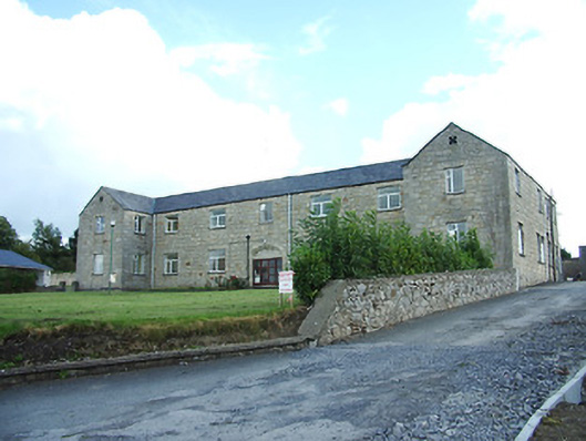 Longford Regional Hospitalhospital/infirmary · 425 yd
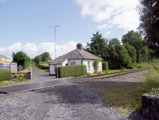 worker's houseworker's house · 884 yd
 Saint Mel's CathedralCathedral · 1338 yd
 First World War MemorialMemorial · 1359 yd
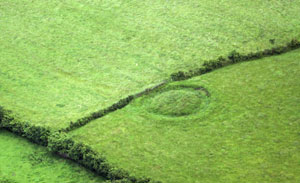 Fairy fort / earthen ringfort in ArdnacassaghFairy fort / earthen ringfort · 1425 yd
 Grave Yd.Graveyard · 1.1 mi
 Bawn in AbbeycartronBawn · 1.1 mi
 CastleCastle, Anglo-Norman masonry castle · 2.7 mi
 Graveyard in Curry (ardagh By., Coolamber Ed)Graveyard · 2.7 mi
 Commons North WalkVisitor information · 9.2 mi
 Wild birdsVisitor information · 9.3 mi
 White Sand WoodWood · 9.6 mi
Other information
Photo: Credit not shown in the picture search · Rights wording not checked; contact us if this picture should be removed