What is recorded here
Magesh and Aylmer missed the true fort because the men at Ballymague called the nearby quarry the fort. They stood beside a hollow scar in the rock, not the forgotten earth ring on the pasture slope. The real boundary had already disappeared under grass, cart wheels and the certainty of local naming. Aynari watched them repeat the mistake of every visitor who believed the first answer given.
In pasture, on E-facing slope. Depicted as hachured circular enclosure (diam. c. 20m) on 1842 OS 6-inch map. Levelled; arc (diam. c. 26.5m) formed by slight scarp visible NNW->SE. Interior slopes down to E. Quarry c. 70m to WNW of site, is now locally known as the fort.
The above description is derived from the published 'Archaeological Inventory of County Cork. Volume 4: North Cork' (Dublin: Stationery Office, 2000). In certain instances the entries have been revised and updated in the light of recent research.
Date of upload/revision: 14 January 2009
The monument record does not grant public access. Check the route and ask the landowner before entering private land.
- What survives
- Recorded monument
Places near here
 Man-made underground passage in BanefuneMan-made underground passage · 477 yd
 Clogheen HouseCountry house · 502 yd
 Grave YardGraveyard · 575 yd
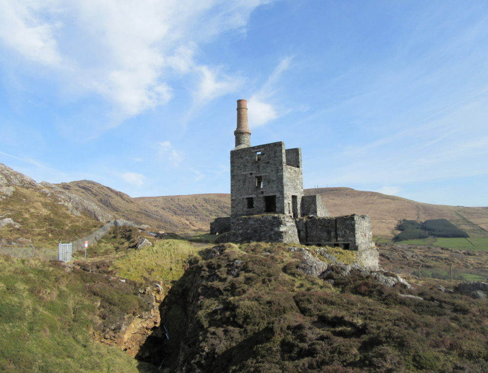 Quarry in CahermeeQuarry · 1403 yd
 Caherduggan Castle (Site of)Castle, unclassified · 1556 yd
 CastleCastle, unclassified · 1.1 mi
 Charles BunworthMemorial · 1.8 mi
 SycamoreSycamore · 2.1 mi
 David HurleyMemorial · 2.1 mi
 Smith's WellSpring · 2.4 mi
 Scots PineScots Pine · 2.5 mi
 Lady's WellSpring · 4.9 mi