
What is recorded here
In pasture, atop hillock. Graveyard approached from road c. 300m to W, with causeway over marshy area and cut-stone stile in field boundary; however, Grove White (1905-25, vol. 2, 16) was informed locally that old road led to church from Doneraile-Mallow road to S; S part of this road shown on 1842 OS 6-inch map. Roughly circular graveyard (c. 42m WSW-ENE; c. 35m NNW-SSE) enclosed by stone wall (H c. 0.9m) with gateway entrance (Wth 1.6m) to W (see photograph ibid., opp. 6); internal fosse (D 0.7m) to N. Rectangular walled extension in NW corner accommodates grave plot of Patrick Piggot (1925AD). Ruin of C of I parish church of Caherduggan (14711) off-centre to N; site of earlier church (14408) also here. Earliest headstone noted dated 1781; two low uninscribed gravemarkers lie N of church.
The above description is derived from the published 'Archaeological Inventory of County Cork. Volume 4: North Cork' (Dublin: Stationery Office, 2000). In certain instances the entries have been revised and updated in the light of recent research.
Date of upload/revision: 14 January 2009
The monument record does not grant public access. Check the route and ask the landowner before entering private land.
- What survives
- Recorded monument
Places near here
 Man-made underground passage in BanefuneMan-made underground passage · 175 yd
 IndicatedQuarry · 233 yd
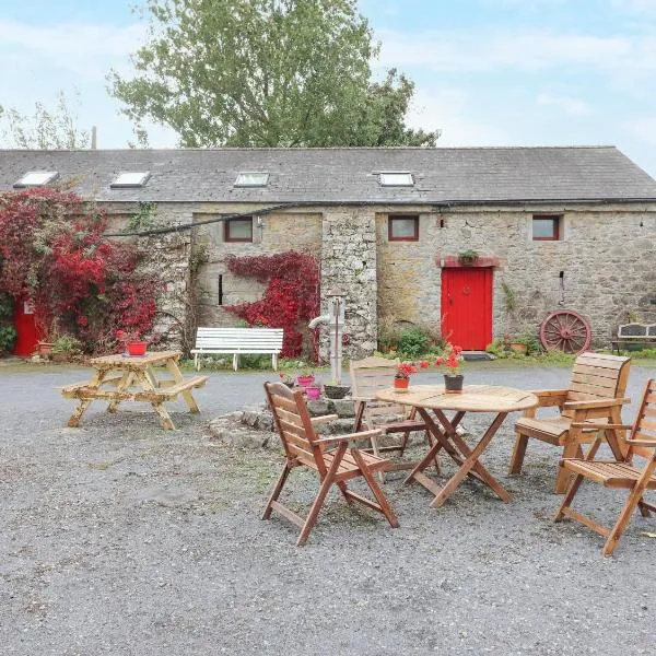 Clogheen HouseCountry house · 450 yd
 Enclosure in Clogheen (fermoy By.)Enclosure · 714 yd
 Caherduggan Castle (Site of)Castle, unclassified · 1226 yd
 CastleCastle, unclassified · 1.1 mi
 Charles BunworthMemorial · 2.1 mi
 Smith's WellSpring · 2.1 mi
 Scots PineScots Pine · 2.2 mi
 SycamoreSycamore · 2.4 mi
 David HurleyMemorial · 2.4 mi
 Anne's Grove GardensHeritage attraction · 7.1 mi
Other information
Photo: Credit not shown in the picture search · Rights wording not checked; contact us if this picture should be removed